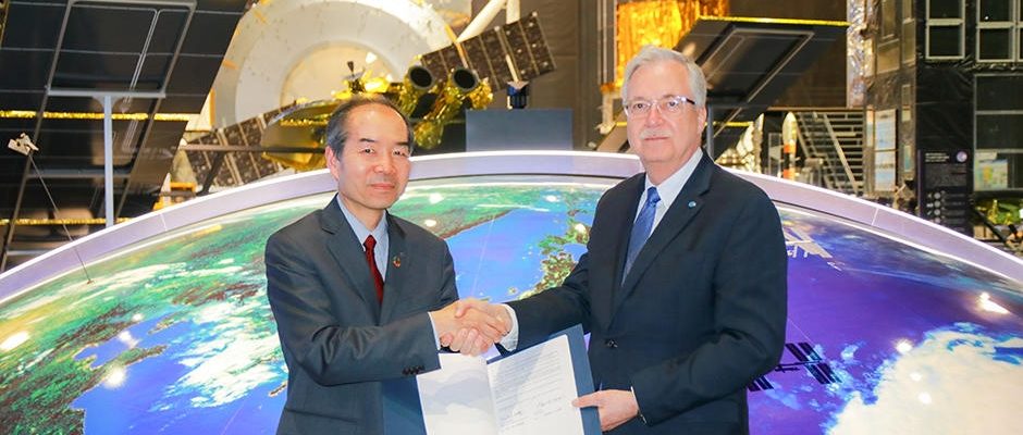
Japan Aerospace Exploration Agency has agreed to collaborate with Food and Agriculture Organization of the United Nations (FAO) on data utilization of Earth observation satellites, and Imai Ryoichi, JAXA Vice President and Daniel Gustafson, FAO’s Deputy Director-General for Programmes have signed the Memorandum of Understanding at JAXA Tsukuba Space Center on January 23, 2020.
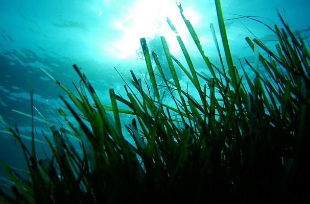
Leveraging this cooperation, JAXA and FAO will be monitoring forests and mangroves around the world by JAXA’s satellites with L-band Synthetic Aperture Radar (SAR).
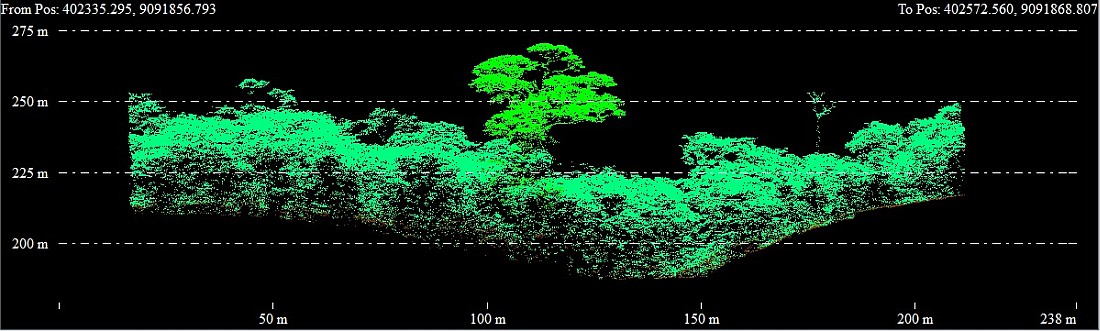
Only JAXA has observed forest using L-band radar (SAR) technology from 1992. Observation data of global forests that JAXA has been accumulating for over 25 years will be provided to the System for Earth Observation Data Access, Processing and Analysis for Land Monitoring (SEPAL) that is FAO’s toolkit for monitoring forest and land-use. Additionally, this cooperation supports JAXA to improve the accuracy of its satellite data.
SEPAL offers anyone easy-to use access to satellite data and supercomputing power, allowing them to create critical forest and land cover information in their efforts to mitigate and adapt to climate change, and now is used in 160 countries.
Thanks to this cooperation, available data on SEPAL will be expanded, and users will be able to access JAXA’s forest observation information and satellite data. Since satellite radar have the capability to provide information on forest and mangroves in the areas where optical satellites are impeded by weather (rain and clouds) or lack of sunlight, the improvement of capability for forest and land-use management in these areas is expected.
JAXA will continue the forest observations using our satellites in cooperation with various users around the world, and will provide satellite data widely as a scientific evidence to support decision-making on forest management which is a sink for greenhouse gases. With these efforts, JAXA hopes to contribute to the achievement of the Paris Agreement and Sustainable Development Goals (SDGs).
Daniel Gustafson, FAO’s Deputy Director-General for Programmes:
“As deforestation and land-use changes are one of the leading sources of carbon emissions, satellite-based information has a critical role to play in supporting countries to achieve their commitments on climate change”
Hiroto Mitsugi, FAO Assistant-Director-General of the Forestry Department:
“This is the kind of partnership that smartly leverages skills and resources to boost our knowledge base and potential impact”
Imai Ryoichi, JAXA Vice President:
“Over 25 years of JAXA’s experience in accumulating L-band SAR data is essential to learn about changes in forests and predict their future, JAXA expects our satellite data to be used for supporting sound decision-making”