The Mexican company SkyBótica and the German drone manufacturer Aibotix have created detailed 3D models of the library and stadium of the National Autonomous University of Mexico (UNAM). The point clouds with a resolution of up to 5mm are based on geo-referenced, high resolution aerial images, generated with the Aibot X6 UAV.
The library, whose facade is decorated with large mosaics, done by several artists, including the famous Mexican painter Diego Rivera, and the Olympic University Stadium (Estadio Olímpico Universitario), home of the UNAM Pumas, belong to the Central University City Campus of UNAM, part of UNESCO World Heritage since 2007.
Equipped with a digital camera, the Aibot X6 generated in two flights, high-resolution, geo-referenced images of the outer skin of the library. The mission ensured a sufficient image overlap, and the necessary capture angles with absolute stability – even with the inherent wind turbulence caused by the structure itself.
The Aibot X6 enables us to generate high-resolution photos from the best perspectives with little time and effort, explained Jörg Lamprecht, managing director at Aibotix. During the flight, both vertical (nadir) and horizontal (oblique) images were taken. The data collected in this way was then processed further with the photogrammetry software Agisoft PhotoScan into a point cloud, a 3D model and an orthophoto, all with a resolution of up to 5mm. With the photos you also get a full documentation of the actual state of the building, said Lamprecht.
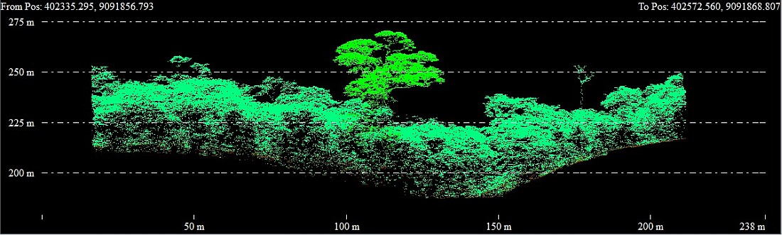
Apart from the library, the stadium of the university was also photographed from the air. The subsequently created orthophoto and 3D model can now be measured anywhere on the computer.
Technical Details
Camera: Nikon Coolpix A
Sensor resolution: 16.0 Megapixel (23.6mm x 15.6mm)
Flight height: Library: distance about 20 – 30m
Stadium: 100 m nadir and oblique from 60m and 20m
Image Overlap: about 60% in all directions (left, right, front, back)
Ground resolution: 0.5cm – 2cm
Data Processing
Synchronisation of the GPS information with the images shot by Aerial Image Manager for a fast post-processing
Further processing with photogrammetry software Agisoft PhotoScan
Source: GIM International