Acute3D, a leader in the 3D automatic reconstruction from photographs, has announced a new software edition of Smart3DCapture, Smart3DCapture Advanced. As a response to many requests, and in order to offer Smart3DCapture technology to a wider audience, Smart3DCapture Advanced has been created to be best suited for, but not limited to, UAS operators and land surveyors.

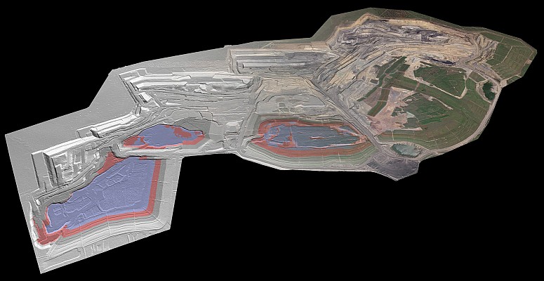
This edition allows the production of high resolution 3D models as well as the generation of digital surface models (DSM) and true orthophotos from imagery datasets as big as 10 gigapixels.
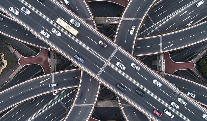
Fully interoperable with most GIS and 3D visualisation softwares, as well as fully versatile in terms of imagery format and source, Smart3DCapture Advanced offers an advanced reconstruction technology for 3D modelling of quarries, archaeological sites, construction zones, open-pit mining areas, etc.
Complementing with the Advanced edition its Smart3DCapture software solution, Acute3D aims to offer the most evolutive software suiteon the market, allowing users to achieve any demanding project, from the reconstruction of a mere building to an entire city.
Source: GIM International