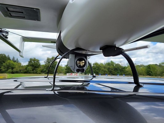
Applanix, a leading company in products and solutions for mobile mapping and positioning, has introduced a new solution that enables major improvements in unmanned airborne mapping: the Applanix APX-15 UAV GNSS inertial system. The APX-15 UAV is designed to maximise the efficiency of mapping from small unmanned aerial vehicles (UAVs) by reducing – or even eliminating – ground control points (GCPs). Sidelap is also significantly reduced, increasing the area flown per mission.
According to the company, the Applanix APX-15 UAV provides unparalleled performance in an extremely small package and, with the included POSPac UAV post-mission software, produces a highly accurate position and orientation solution for direct georeferencing of cameras, Lidars and other UAS sensors. The announcement was made at Intergeo 2014, the world’s largest conference on geodesy, geoinformatics and land management. 
Applanix has recognised the need to provide the growing UAS mapping market with the same highly efficient solutions that it pioneered for airborne mapping over 15 years ago, said Joe Hutton, director of Inertial Technology and Airborne Products at Applanix. The company is offering a cost-effective solution that meets the size, weight, power and cost requirements of small UASs while maintaining the Applanix pedigree for quality and performance, he added.
Compact
The APX-15 UAV, measuring just 6cm x 6.7cm and weighing only 60 grams, features a high-performance, survey-grade, multi-frequency GNSS receiver and low-noise MEMS inertial sensors all on a single board. The Applanix IN-FusionTM GNSS-inertial integration technology runs directly on the GNSS receiver, resulting in a very ccompact design, while first-rate performance is achieved from the inertial sensors using the Applanix SmartCalTM software compensation technology.
With 220 channels, the APX-15 UAV tracks all available GNSS satellite signals including GPS L1/L2/L2C/L5 and GLONASS L1/L2, QZSS, BeiDou and Galileo, and provides a highly accurate post-mission and real-time RTK GNSS-inertial position and orientation solution to support guidance and control, precision landing and sensor georeferencing.
APX-15 UAV is expected to be available worldwide in the first quarter of 2015 through the Applanix sales channel.
Source: GIM International