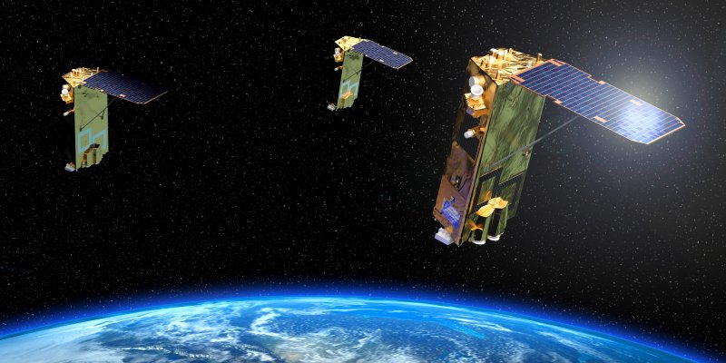
In late 2014, the Engesat company, based in Curitiba (PR), has partnered with the Chinese BSEI for distribution of satellite images. The company already has in orbit the TH-1 and TH-2 satellites.
Check out an interview with an executive of the company BSEI, who was in Brazil to sign the partnership with Engesat and talked to the editorial staff of MundoGEO, talking about the features and novelties of this satellite constellation for imaging the Earth.
MundoGEO: We know that there is a constellation of two satellites for Earth Observation, the TH-1 and TH-2 in orbit. The expectation is launching a third one in 2015, is that correct?
BSEI: TH-1 is a professional global mapping satellite. So the first one was launched on 2010 August 24th. The second one was launched on the 2012. So the next one, which is the third, will be launched early next year. So far we can say there are two satellites on the constellation now breaking up and the next one coming soon.
MG: This constellation is effective for imaging the Earth in high resolution?
BS: Yes, so far we have already 2 satellites covering more than 75% of the whole world land. So it’s more than a hundred million squared kilometers. And in South America, specially in Brazil, we have technology of 30% of crowd cover imagery for, I think, more than 75% of the Center and South because in the North is more difficult.
MG: What are the expectations of BSEI for the next few years in order to and compete with large commercial imaging constellations?
BS: We just joined the CMT solution in Paris, and comparing the biggest ones, from like the US and Europe, we are quite new, quite small. But we rely on the potential growth of the Chinese as a country, they are committed to make huge budgets, the government; so we can launch more and more satellites. It’s definitely not what a private company can afford. Currently, American companies and European companies are private. In China, the system there is most of the aerospace technology and industry are invested by the government. The Chinese government is one of the most powerful in the world, so they are committed to launch hundreds of satellites in the next ten-twenty years. That’s why we think it’s necessary to start now to provide all the available good quality cost-effective satellite imagery to the worldwide customers and our partners. So we try to start from zero and build a solution network worldwide and that will be good for the growth of Chinese satellite-launch program. So in the future, through this channel, we can bring more and more different satellites produced for lower costs. So this is the basic strategy. We are not launching one or two satellites, we rely on the huge potential resources and growth from the Chinese government for launching satellites, then we can bring these resources to the customers. That’s why it’s a strategy we have to start now to build our strategic partnership from different market. By the way, Brazil is a leading market in South America, so we come here, for the first time, to start with Brazilian market.
MG: Can we say BSEI is investing more in countries in South America but not in North America?
BS: So far we did many market investigation and we’ve realized that the top market in the first age for us, for Chinese satellite imagery, are the nations leading by the BRIC countries. We explore a very good market in Russia, in South America – like Brazil -, in India we are trying to find a good network but not yet. At least, we have found in these BRIC countries potential in there. The major market in Europe and North America have a lot of options and their economy is as the BRIC’s economy that drives fast.
MG: Who funded the TH-1 Earth observation program? The investment was public or private? Or both?
BS: So far, in China, we can say that almost all satellites were funded by the government, including the TH-1. We are a private company but we don’t own the satellite, this is because of the Chinese government system. We were selected by the government to be the exclusive distributor of Chinese satellite resources globally. While, for the private funding satellite from China, it is coming soon. It’s by a company named 21st Century. This 21st Century, they are 100% Chinese private company, they invest in satellites by themselves. In the past ten years, they were finding a way to launch their Chinese private satellites and they are coming for the next January. They are a new satellite constellation to be launched for submeter resolution, they are named Beijing-2. The satellite owned by this private company is of 80-centimeter resolution. So we cannot say there’s no private satellites company, it’s coming, it’s there, but so far most of the resources are by the government. Even this 21st Century, they are way special. They signed a contract to subcontract a UK company to produce the satellite and they move the satellite to India to launch to operate areas in China.
MG: What are the main applications and products that TH-1 high resolution images are capable of producing? Environmental, geological mapping, 3D, etc.?
BS: For TH-1, it’s normal that we have a 2 meter PM with 2m Pan and 10m Multispectral imagery camera, We have affective the valued one the unique system TH-1 constellation to future, it´s a big satellite system is also included a switches of collector stereo image, a kind of Triplet stereo image, we find meter resolution. There’s 3 sensors to collect imagery we can do a very good DM struction all the top of graphic mapping. In China we use this 21st stereo imagery to doing some 50,000 scale and 25 thousand scale topographic mapping, i’ts an area difficult to do topographic mapping and to collect any ground control point. So we hope this unique one TH-1 constellation can brings some similar application in South American market and whatever 2 meter Pan accounted. We founded from our website catalog that we must be what the Asia decided to be available to collect.
MG: Can you talk about the plan to launch new satellites, new sensors, and so on?
BS: How I explained you about the plan to launch more satellite, first the TH system are depended from the Chinese is committed with satellites, we have three satellites in TH-1 zero-one, zero-two, zero-three. This is the global mapping satellite. So we have the TH-2 launched on 5th, June, 2012, it’s a resource satellite. And the third one wil be launched in next year, it’s designed for higher quality of imagery and more precise accuracy. At least 2 satellite will be running in the space as network, the image quality and precision will be improved step by step for meeting the multiple fields needs.
We can say it in detail but from China we have satellites in various proportions this information belongs to the government, we have the GF series launched 2 meter two year ago. And de DF-2 launched last month it is some meter with 45 km source. DF we have totally 7 satellite. Then we have “CBERS” from a partnership between Brazil and China in the space technical scientific segment. The CBERS fourth was launched in December it’s belongs to China Aerospace Club it’s a resource satellite. So the total for the next ten year depend from the resources. We expected was private satellites, private companies satellites. The most will be launched constellation to the new generation are more important even the success is the private operator will be getting strong on the stage , if be unlock.. how can I say that… in pessimistic occurring situations the government invested and it’s a continuous investment. We can expect soon or later the Chinese commission as operating satellite we are players in the world market


