Blue Marble Geographics announce the release of Global Mapper version 16.1. This interim release features a new UAV Video Playback Tool, new options to rotate the map view, and the ability to select and measure features in the 3D viewer. If you would like to download this version it is available here for download.
To introduce this new version, we will be presenting a free webinar titled “What’s New in Global Mapper v16.1” on February 19th, at 2:00 pm EDT. Register for this webinar
Single user license upgrades for version 15 are available for just $169, upgrades are also available for USB dongles and network licenses. To purchase your dongle or network license upgrade contact sales at gmorders@bluemarblegeo.com.
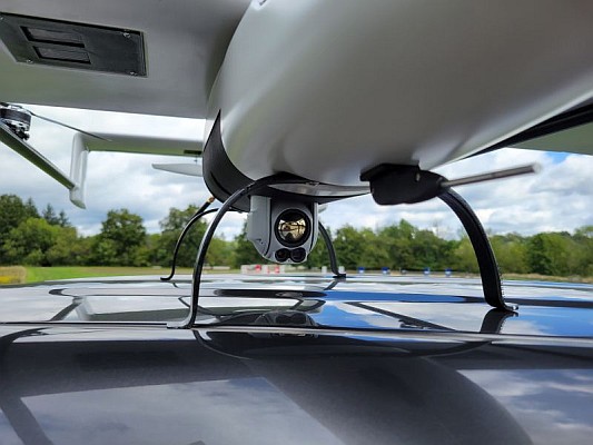
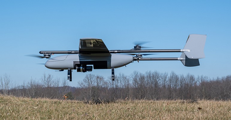
This release includes a variety of updates to both the Global Mapper base product and the optional LiDAR Module. One of the most significant enhancements is a new video playback tool that allows users to play a video derived from the flight of an aircraft or UAV. The playback option displays a video file synced to any line feature with per-vertex times, fly-through lines or point features with recognized timestamp attributes.
Version 16.1 of Global Mapper also offers the option to rotate the map view as needed, allowing the user to more clearly visualize any spatial data with a unique alignment. The automatic “Track Up” mode works when connected to a GPS device and rotates the map view based on the current GPS heading. This new release also introduces the ability to select vector features with the Digitizer tool in the 3D Viewer. This functionality links the 2D and 3D maps, allowing users the option to pan, zoom, measure, and add vector data in one viewer while automatically replicating actions and updating features in the other. The right-click menu enables users to perform many Digitizer operations on the selected features in the 3D window.
For a complete list of new features and enhancements visit http://www.bluemarblegeo.com/products/global-mapper.php or download Global Mapper v16.1 today!