Aeromao, a Canada-based manufacturer of fixed wing UAVs, recently released the Aeromapper 300, a UAV especially developed for mapping applications. The Aeromapper 300 is equipped with more than 25 different sensors, offering a wide range of applications for the professional geomatics user. All the sensors are available with swappable mount and automatic trigger. The autopilot triggers the sensor based on distance based on the overlaps, flight altitude and relevant fields can be selected entered during creation of the mission.
Despite its size it also has a small turning radius (about 30m turning radius), making it also suitable for those low altitude-high ground resolution flights in which the flight lines are pretty close to each other. Some of the features are 1.5 hour endurance, safe parachute landing capability, hand or catapult launch supported, long range data link and control and of course, fully automatic flight.
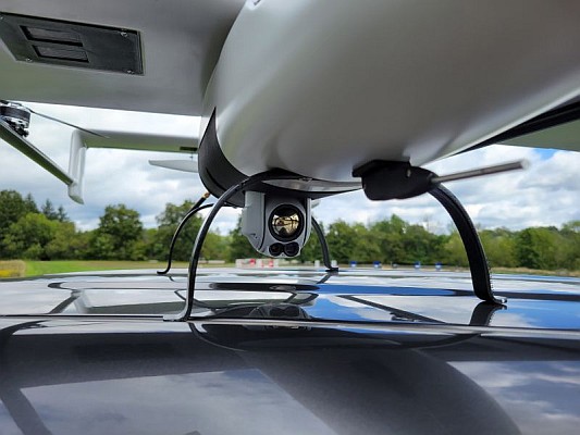
Cameras are installed in panoramic orientation (top of camera facing forward) for optimal area coverage during flight. The standard package of the Aeromapper 300 includes the Sony Nex 7 (24 MP) with a survey grade wide angle rectilinear lens. The UAV is also conceived to carry the Sony Alpha a7r with 36MP. Users can choose from a large variety of payloads and sensors with swappable mounts, even combination of them (like Sony Nex 5 + tetracam ADC Micro, with simultaneous trigger). Information on the list of sensors and payloads for the Aeromapper family of UAVs can be found here.
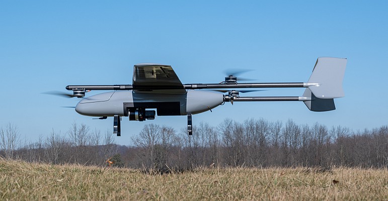
Similarly to its smaller brother Aeromapper EV2, the Aeromapper 300 uses the concept of a highly engineered payload bay module attached to a high performance carbon fiber glider aircraft.
For more information on Aeromao see here.
Source: GIM International