LizardTech®, the creator of MrSID® and provider of software solutions for managing and distributing geospatial content, announced today it will exhibit at UAS Mapping 2015 Reno in booth number 202, Sept. 29-30, 2015 at The Reno Ballroom in Reno, NV.
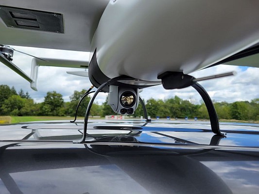
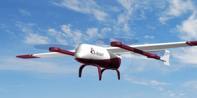
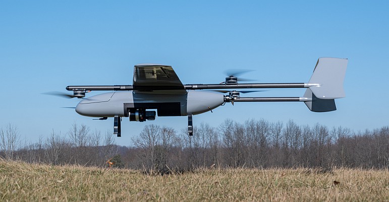
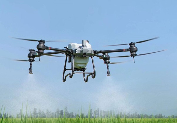
Unmanned aerial vehicles (UAV’s) promise better, cheaper and more frequent data collection. At the conference, LizardTech is sharing a booth with its business partner CompassData, a leading provider in the geospatial community of global Ground Control data. The two companies will showcase how to obtain top quality UAV imagery and what it takes to collect and process that imagery. In addition, representatives from CompassData and LizardTech will share how to consume the UAV imagery on Trimble devices and in LizardTech’s free GeoViewer application.
For more information about LizardTech’s geospatial software products, visit www.lizardtech.com.
A complete list of LizardTech’s upcoming events is available here.
About LizardTech
Since 1992, LizardTech has delivered state-of-the-art software products for managing and distributing massive, high-resolution geospatial data such as aerial and satellite imagery and LiDAR data. LizardTech pioneered the MrSID technology, a powerful wavelet-based image encoder, viewer, and file format. LizardTech has offices in Seattle, Denver, London and Tokyo. For more information about LizardTech, visit www.lizardtech.com.
#########
© 2015 Celartem, Inc. d.b.a. LizardTech. All rights reserved. LizardTech, MrSID, GeoExpress, Express Server, and Express Suite are registered trademarks in the United States and LiDAR Compressor and the LizardTech, GeoExpress, Express Server, Express Suite, LiDAR Compressor, ExpressView and GeoViewer logos are trademarks, and all are the property of Celartem Inc. d.b.a. LizardTech. Unauthorized use is prohibited.
All other trademarks are property of their respective owners.
Source: GISuser