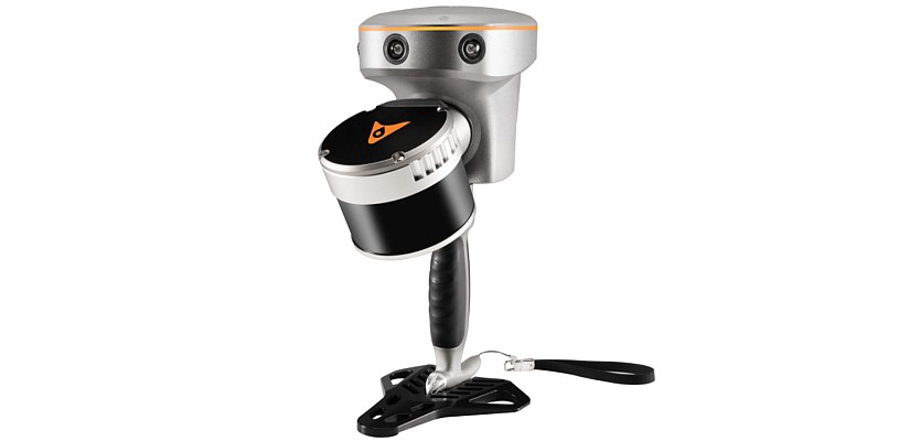
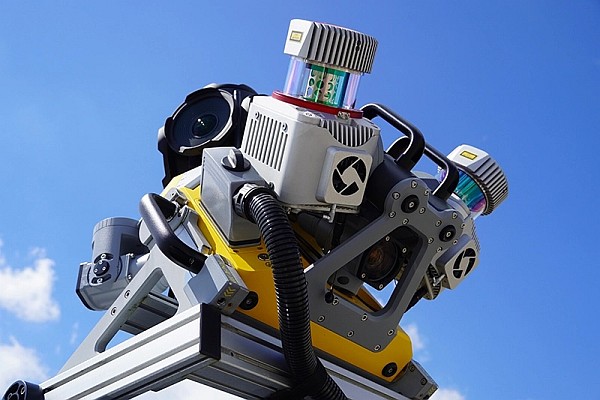
 The British company NM Group is nearing completion on an aerial mapping project of unparalleled scale and accuracy, covering more than 16,000 km of UK rail network. In 2014 NM Group was engaged to map the rail assets with a mix of high-tech laser measurement and imaging equipment. This was part of a ground breaking project to improve asset maintenance, operational effectiveness, efficiency and safety.
Using a mix of specially commissioned Lidar and high resolution multi-angle cameras mounted on helicopters, carrying out aerial operations and ground control activities over a four month period, completing before the winter set in. The survey information was rapidly transported to NM Group’s Technology Centre in Knaresborough, North Yorkshire, where a large team of specialists have been hard at work converting nearly a petabyte of raw data into a wide range of terrain, asset and imaging outputs.
Geospatial fabric
NM Group’s contribution to the programme provides the geospatial fabric on which other layers are overlaid, the basis for asset location mapping and the start point for the design of upgrades and modifications. Traditionally, this information would have been created by a visit to the site by a team of surveyors, the new method will significantly reduce the need for future field work and trackside access. It will also facilitate more efficient maintenance, allowing crews to identify and access assets more safely and efficiently than in the past, via apps on a range of mobile devices.
NM Group is a specialist service provider of asset management, surveying and mapping solutions to sectors including energy transmission and distribution and road and rail transport. Applying a range of remote sensing and geospatial technologies, the company offers a full range of services from data acquisition through to analytics and web applications for wider access to information.
For more information visit www.nmgroup.com.
Source: GIM International


