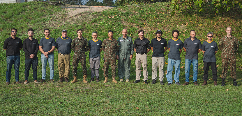
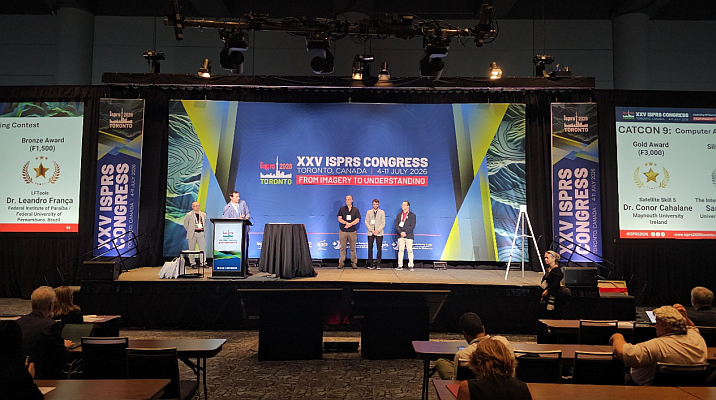
advertising

Web-based GIS for campus emergency response

advertising

Accurate and reliable spatial information of an event nowadays plays a crucial role in minimizing human and asset losses. With the aim of preventing disastrous damage caused by sudden natural disasters, Chien Hsin University of Science and Technology, Taiwan, develops the hazard prevention Web GIS program for enhanced simulation and drills and effective emergency response during earthquakes, tsunami, and fires.

Web-based GIS for Campus Emergency ResponseTo help people improve preparedness and practice how to keep safe during earthquake strikes on campus, Chien Hsin University of Science and Technology conducts biannual earthquake and fire emergency response drills for nearly four thousand participants. The drills always put a strain on the Office of General Affairs.

Developed with SuperGIS Server 3 and Microsoft SQL Server 2008, the Web-Based Campus Emergency GIS System performs dynamic map display, basic GIS manipulation, and map navigation, delivering high quality spatial information for students and administrators in every department on campus to visualize, integrate, and analyze student population, facilities, and hazard data for better emergency planning and preparation.

In addition, through accessing the web-based GIS system, users can easily query the disaster response plans, tasks of emergency response teams, team member lists, distribution of evacuation routes around the campus, and suitable locations for shelters, as well as equipments and drill procedures to conduct trainings and drills without paying too much labor cost and time on management.

The Web-based Campus Emergency GIS System is expected to integrate the information such as the evacuation routes, distribution of evacuation equipments and fire-fighting facilities, and lists of emergency personnel, to satisfy the requirements in class training and simulation drill of different situations. Therefore, a safe campus for study and work can be ensured and enhanced by means of GIS technologies.

advertising
Exit mobile version