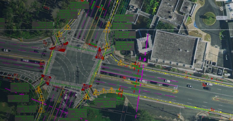
Hexagon’s Geosystems division announces that new 2D and 3D geospatial data products are being added to the HxDR platform. In addition, HxDR now provides expanded delivery options for on-demand content.
The Hexagon Content Program is the leading provider of high-resolution aerial data for locations worldwide. It is available for purchase on HxDR, Hexagon’s cloud-based storage, visualisation, collaboration and e-commerce platform for geospatial data of any scale. With this offering, customers can now access an even broader on-demand data catalogue and instantly download or stream data into their GIS or custom applications.
“As a one-stop shop for geospatial data, HxDR enables customers to make on-demand purchases of high-quality data to streamline their workflows,” says John Welter, President, Geospatial Content Solutions at Hexagon’s Geosystems division. “The recent announcement reflects our commitment to make high-resolution datasets conveniently accessible to the GIS community so users can focus on achieving project success and operational efficiency.”
HxDR offers the following 2D and 3D datasets:
- Photogrammetric point clouds: An imagery-derived elevation solution at 10 ppm2 (30 cm point spacing) offering cost-effective modelling for urban and rural environments.
- Aerial mesh models: 3D models at 5 – 8 cm GSD derived from imagery and LiDAR in key urban locations to create a virtual representation of the real world.
- Standard orthoimagery: Wide-area collection imagery at 12.5 – 30 cm GSD designed for base mapping, feature extraction, and large-scale monitoring and analysis.
- True orthoimagery: High-resolution imagery captured at 5.0 cm GSD with true nadir viewing geometry to increase observation of surface features in urban locations.
- LiDAR: Elevation coverages in multiple GSDs and formats for mapping applications across various environments.
The Hexagon Content Program provides a library of consistent, high-resolution aerial imagery, elevation data, 3D models and analytics collected with best-in-class airborne sensing technology. The consistent, high-quality datasets empower deeper insights to understand and address today’s most challenging problems.
To explore or purchase aerial data, visit contentprogram.hxdr.app/catalog. To learn more about the Hexagon Content Program, visit hexagon.com/contentprogram

