
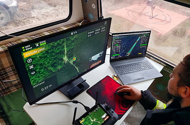
Explosive.pl completed a 302-hectare drone magnetometer survey on the northern Polish coast to support unexploded ordnance (UXO) technical survey work.
The site had previously been classified as low UXO risk, but the survey identified around 3,000 magnetic anomalies, including genuine UXO such as 75-150 mm artillery shells, mortar grenades, and small-arms ammunition.
The project used a DJI Matrice 350 RTK carrying a SENSYS MagDrone R4 magnetometer. SPH Engineering’s UgCS flight planning software was used for mission planning, while SkyHub logged magnetometer readings with RTK GPS. True Terrain Following helped keep the sensor at the planned altitude over beach sections, slopes, and vegetation.
The survey was carried out by a three-person crew over 120 days on site, with around 1,000 total flight hours. Flight parameters varied with terrain: approximately 1.0 m altitude over beach areas and 1.7 m over slopes, with speeds from 0.5 m/s on steep ground to 4 m/s on open beach.
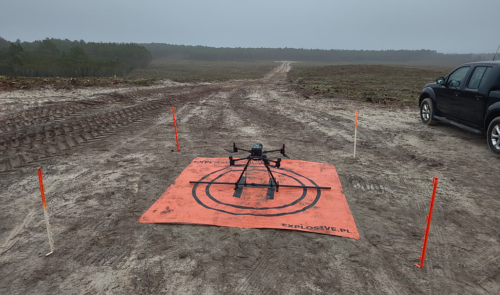
The main deliverable was not a clearance decision, but a structured target list: georeferenced magnetic anomalies with estimated burial depth and magnetic mass. Field crews then used handheld detectors to confirm targets before excavation.
One notable result was the detection of a 150 mm artillery shell approximately three meters below the ground surface while the drone magnetometer was flying two meters above ground. The case also showed the practical importance of stable low-altitude flight, because magnetic signal strength decreases rapidly as the sensor moves farther from a buried ferrous object.
This type of drone survey does not replace trained UXO clearance teams. It supports them by mapping where follow-up investigation is needed, reducing unnecessary walking through suspected hazard areas during the survey stage, and helping teams prioritize ground checks.
Learn more about SPH Engineering’s drone UXO detection system.
Source: SPH Engineering
Image credit: Explosive.pl / SPH Engineering