
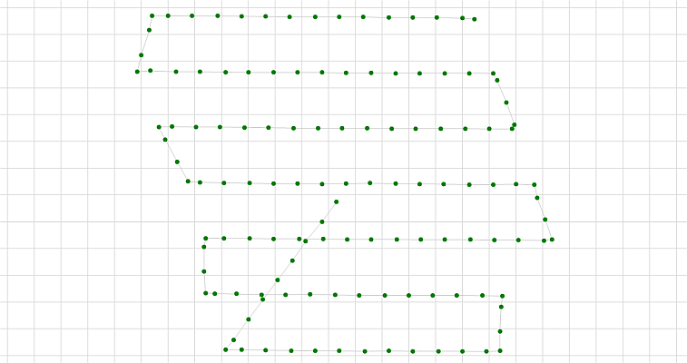
KlauPPK UAV has seen increasing use throughout South America, with customers using the software to improve the accuracy and reliability of drone mapping and surveying projects.
“We really appreciate the support KlauPPK has received from users across South America,” said Rob Klau, founder of Klau Geomatics. “As that community has grown, it made sense for us to invest in making the software easier to use in their own language.”
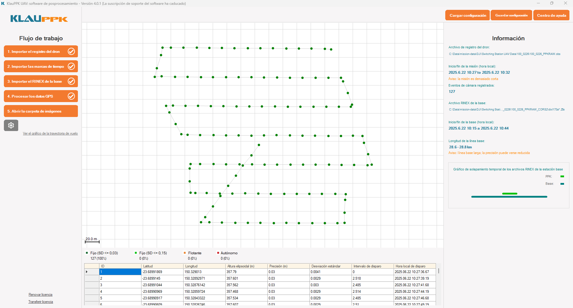
The new Spanish interface is now available as a Beta release, and Klau Geomatics is inviting Spanish-speaking drone surveyors and mapping professionals to try it and provide feedback.
High-accuracy UAV positioning made practical
KlauPPK UAV is post-processing software designed for professional drone mapping and surveying. It processes GNSS observations from supported drones together with base station or reference network data to calculate highly accurate camera positions for photogrammetry and mapping workflows.
The software supports a wide range of professional mapping drones, including DJI Matrice 4E, Mavic 3 Enterprise, Matrice 400, Matrice 300/350 RTK, M30 and Phantom 4 RTK, as well as platforms from other manufacturers.
Key capabilities include:
- High-accuracy PPK processing of UAV camera positions
- Processing with local base stations and reference network data
- Support for multiple flights within a single project
- Coordinate system and geoid management, and site localisation
- Quality control and processing reports
- Workflows designed to reduce reliance on large numbers of ground control points
- Support for a broad range of professional mapping UAVs
KlauPPK has been developing PPK technology for UAV surveying and mapping since 2014, with a focus on giving surveyors greater control over positioning accuracy and data quality.
Spanish Beta users invited
The Spanish-language Beta is available now, and Klau Geomatics is particularly interested in feedback from users throughout Latin America.
“We don’t simply want to translate the interface,” Klau said. “We want KlauPPK to be genuinely easy for Spanish-speaking surveyors to use, so feedback from our South American customers during the Beta will be very valuable.”
Users interested in trying the Spanish Beta can visit KlauPPK to learn more and download the software.
About Klau Geomatics
Klau Geomatics is an Australian geospatial technology company developing positioning, LiDAR and edge-processing technologies for surveying, mapping and asset intelligence. KlauPPK UAV provides high-accuracy GNSS post-processing for professional drone mapping applications.
For more information, visit: www.geomatics.com.au
Source: Klau Geomatics