Computer gaming systems are getting closer to reality itself. To capture this reality, software developers need to create accurate environmental settings for these games. Find out how racing game developers turned to Topcon’s mobile mapping technology.
 LandScope Engineering have developed a survey method that is capable of delivering a high resolution and accurate track survey, with minimal track shut-down to track activities. Ideally these surveys capture the various track set ups including the temporary race infrastructure such as signage and camera units. Furthermore the survey solution had to consider the logistical implications of surveying multiple tracks, in multiple geographies over several months – clearly calling for portability and ease of remote set-up.
Accuracy and detail make the game
The accuracy and detail of these virtual representations of race tracks have great bearing on the gaming experience with users otherwise reporting non-conformances such as missing track detail and misrepresentation of corner geometry. Exceptionally detailed models of the cars and motorbikes – in terms of graphics, sound and dynamics – can be compromised by inaccurate and low resolution track environments. Traditionally track surveys have been conducted with various straight forward techniques employing cameras, tape measures and, if lucky, handheld GPS, resulting in oversimplistic environmental representation.
Mobile Mapping Silverstone racetrack
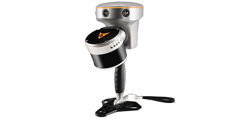
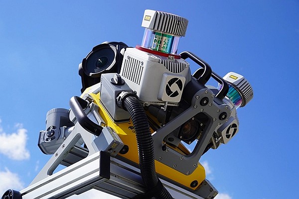
Having considered the various survey and logistical requirements LandScope Engineering deployed the Topcon IP-S2 mobile mapping system to Silverstone. With data acquired over multiple laps the survey works were completed within forty minutes and the results exceeded all expectations of both the survey and computer modelling teams. Repeatable accuracies reviewed from lap to lap were in the order of 10-20 mm in the vertical.
 The point cloud resolutions were able to define detail down to rumble strips and chain-link fencing. Further processing within Topcon GeoClean software allows the matching of point clouds from multiple passes allowing the generation of both an accurate and seamless point cloud model – ready for export to 3D modelling packages as either point cloud or a generated mesh.
In addition to the point cloud data, the fully geo-referenced panoramic imagery gave valuable input to the game modelling process in communicating colour and texture data to the modelling teams. Thus removing the need for extensive photographic campaigns.
New workflow processes in gaming industry
The use of Mobile Mapping data acquisition created new possibilities in the gaming industry. LandScope Engineering and its partners develop innovative software systems and workflow processes to automatically extract carriageway and track geometry from point cloud models with a direct feed in to modelling systems such as AutoDesk 3DSMax.
Data acquired with the Topcon’s IP-S2 and processed by LandScope Engineering have become the ultimate reference for race track model generation. Modern racing games give players the closest feeling to a real race, and realistic game-experience is the only thing that counts.
Source: machinecontrolonline.com