Designed to enable the automated and efficient inspection of solar farms, the new senseFly Solar 360 solution, with Raptor Maps, will be showcased on booth 2215 at AUVSI XPONENTIAL, McCormick Center, Chicago, from April 30 to May 2, 2019.
senseFly is introducing its new senseFly Solar 360 at this year’s AUVSI XPONENTIAL, the latest addition to its senseFly 360 solutions range. Created in collaboration with software company Raptor Maps, this new offering is a uniquely efficient thermal drone solution that enables the automatic assessment of solar plant performance at a sub-module level.
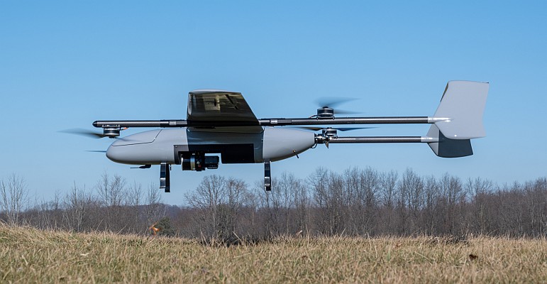
Created by combining eBee X fixed-wing drone technology, senseFly’s Duet T thermal mapping camera, and Raptor Maps’ ground-breaking software, senseFly Solar 360 is a fast and fully-automated solution. It is easily integrated into solar management workflows without requiring either drone piloting skills or the manual analysis of aerial solar farm data.
“At senseFly we are continually looking across the industry to identify new commercial partners with whom we can bring to market what our customers need, which is vertically-focused end-to-end solutions,” said Gilles Labossière, CEO of senseFly. “With Raptor Maps, we are collaborating with a true solar industry pioneer. Their software takes the guesswork out of solar farm inspection and, crucially, speeds up this process – from days down to hours. This efficiency, combined with the eBee X’s large coverage and reliability, ensures that farm owners and operators — or the drone service providers they employ — can inspect utility-scale solar farms more quickly, easily, and accurately than ever before.”
“Solar power is the largest source of new energy generation in the world,” said Nikhil Vadhavkar, CEO of Raptor Maps. “This rapid growth has fueled demand for industry-specific solutions to allow solar customers to scale. Our enterprise-grade software has been deployed across six continents and 25 million solar panels to increase power production and reduce risk and maintenance cost across solar portfolios. We are proud to collaborate with senseFly, the industry leaders in commercial fixed-wing drones, to increase access to Raptor Maps while providing a comprehensive, end-to-end solution that scales with the solar industry.”

Learn more about senseFly Solar 360 on booth 2215 of AUVSI XPONENTIAL 2019, where senseFly and Raptor Maps will present: “Introducing senseFly Solar 360 with Raptor Maps”. This talk takes place at 13:30 on Tuesday, April 30, and again at 14:00 on Wednesday, May 1. Also visit: www.sensefly.com/solution/solar-360-thermal-drone
senseFly Solar 360 will be available to order via senseFly distribution partners from June.