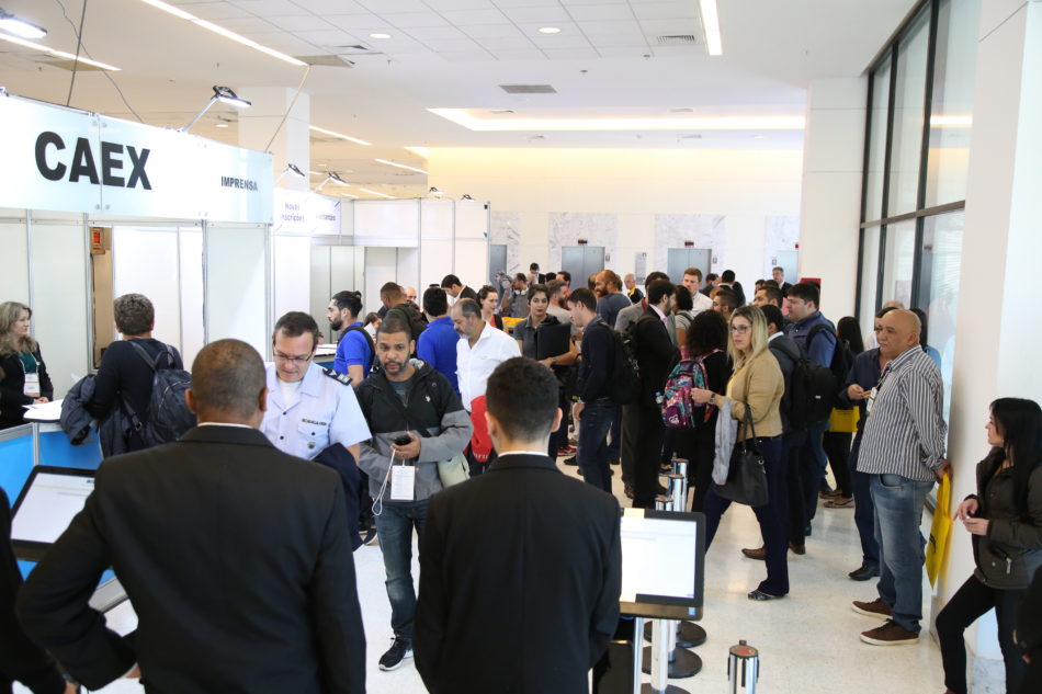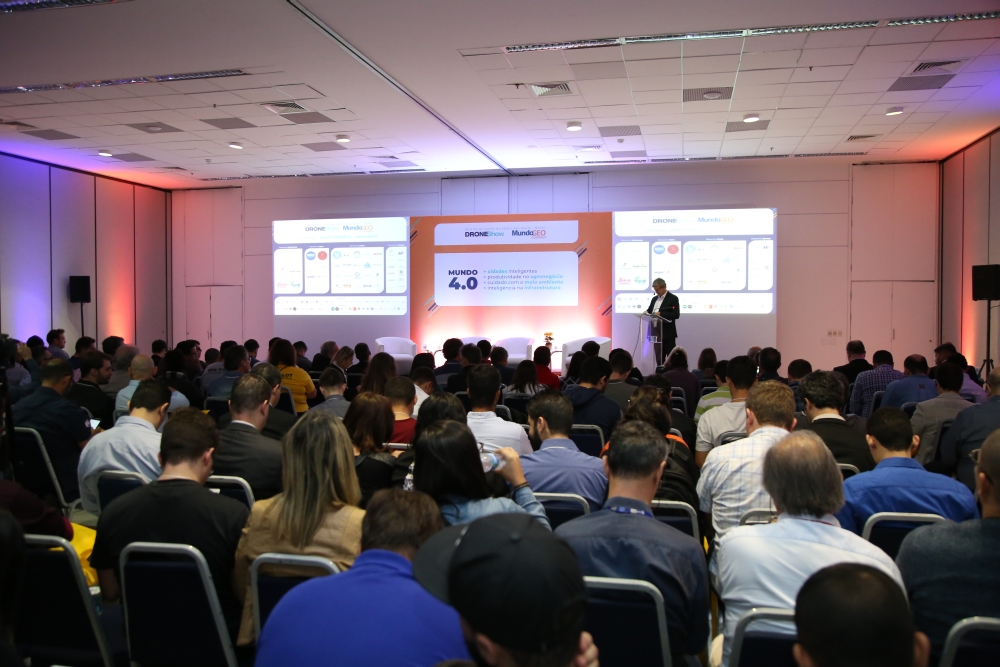
The DroneShow 5th edition and MundoGEO Connect 9th edition 2019 gathered more than 240 hours of content, 110 brands in the fair and 3.800 attendees from June 25th to 27th in Frei Caneca Exhibition Center in São Paulo (SP), presenting as the main topic Drones and Geospatial technologies in the 4.0 Industry.
The event was complete and fully aligned with the profile of a real geospatial technologies festival, featuring fair, contents, awards, meetings and an experiences space. The sector is booming, forecasting a revenue growth of 30% comparing to last year’s, reaching R$1.5 billion and employing more than 100 thousand professionals.
 Event total figures:
• 3.800 attendees
• 120 brands in the fair
• 200 speakers
• 240 hours of content
• 40 supporting institutions
• 14 special events
• 18 courses
• 2 forums
• 6 seminars
In a survey carried out in site with the attendees, areas of interest were identified: 22,5% agroforestry, 21,5% municipal management, 19,5% environment, 18% infrastructure (utilities, transport, construction), defense and security, and 6,5% of other sectors.
As regards their background, 45% were from the public sector and 55% from the private sector. As regards their positions, 33% were directors/CEOs, 32% managers, and 35% technical sector. The geographical distribution of the attendees shows that 56% were from the Southeast, 15% from the Northeast, 17% from the South, 8% from Midwest, and 4% from the North.
The undertaking of the two simultaneous events was approved by 92% of the attendees. Concerning the level of satisfaction of the ones enrolled in the activities, it reached 98% whereas 96% rated the organization positively.

As a general assessment, the events director highlights that there was a significant growth of the fair in its latest editions. “We have become a reference in Brazil and Latin America when talking about presenting diverse platforms to collect data of orbital, aerial (including drones), terrestrial and vehicle embedded sources”, commented Emerson Granemann, MundoGEO’s CEO and the events idealizer. “Throughout the latest editions, we have been able to show how the use of embedded technologies and diverse solutions for processing, visualization, and information analysis have evolved enabling making decisions in countless sectors. This year’s highlight was showing concrete results from a comprehensive diversity of applications in the agrobusiness, environment, smart cities, infrastructure, security and logistics, among others”, stated Granemann.
“Besides the sector companies, we had an expressive participation of governmental agencies, such as ANAC (Brazil’s aviation agency), DECEA (Brazil’s airspace agency), Defense Ministry, IBGE (Brazil’s survey agency), INPE (Brazil’s spatial agency), the Science and Technology ministry, among others’, said Granemann. “We’re pretty sure that our purpose of connecting the community to promote technological update and generating new businesses was met”, he concluded.