GNSS y Posicionamiento HERE y Loqate amplían la asociación para ayudar a las empresas a optimizar la entrega
Geoprocesamiento y SIG Esri y Facebook colaboran para lanzar nuevos conjuntos de datos para OpenStreetMap
Geoprocesamiento y SIG Consulta pública: transposición de la Directiva europea sobre datos abiertos y reutilización
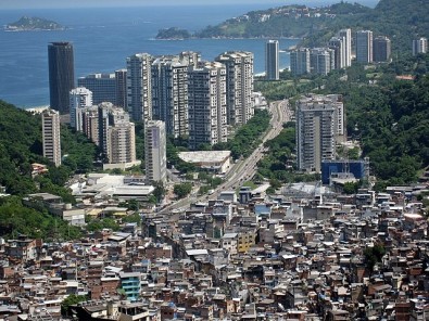
Noticias - Ciudades El patrón de propagación urbana de la Covid-19 reproduce las desigualdades territoriales
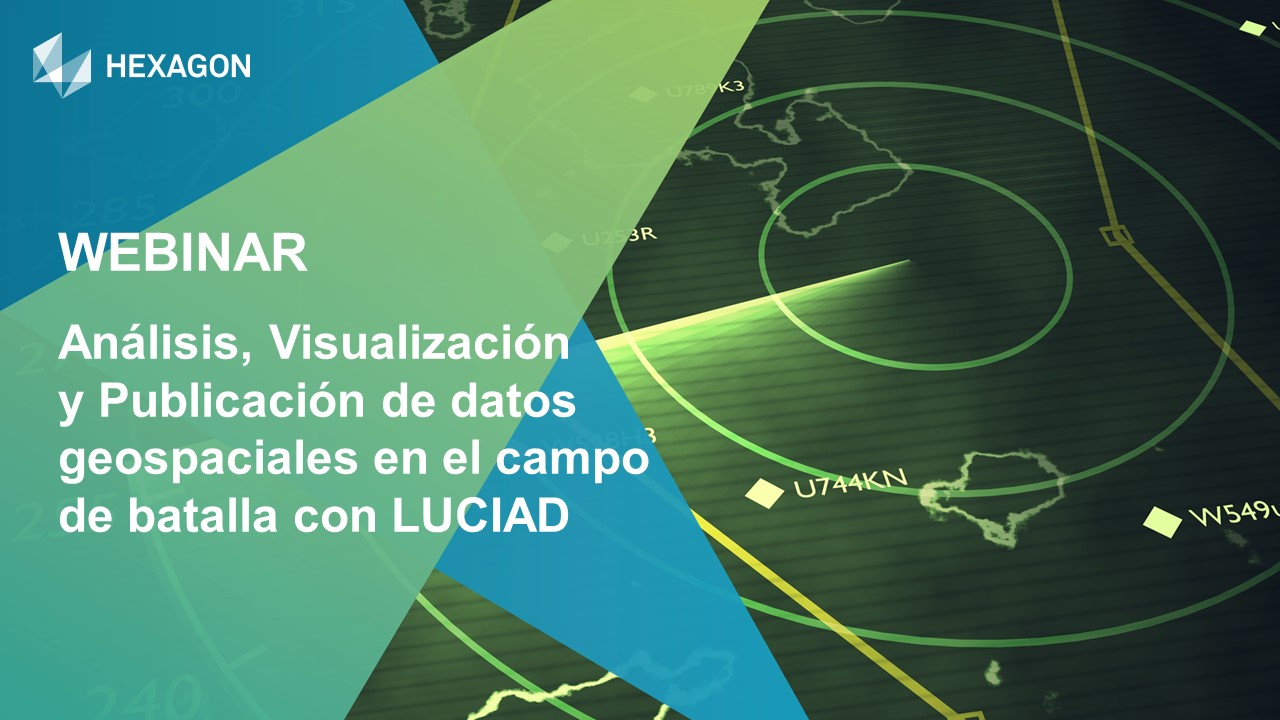
Geoprocesamiento y SIG Webinar: Análisis, Visualización y Publicación de datos geospaciales en el campo de batalla con Luciad
Geoprocesamiento y SIG Programa de Respuesta a Desastres de ESRI apoya los esfuerzos contra la pandemia de Covid-19
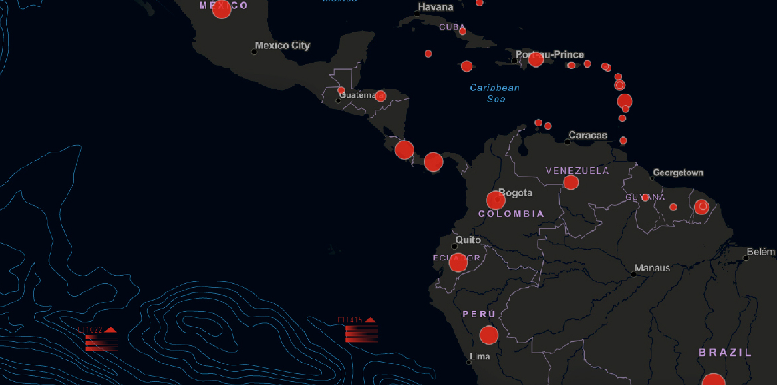
Geoprocesamiento y SIG BID y Esri ofrecen solución para combatir COVID-19 en América Latina y el Caribe