


Geoprocesamiento y SIG
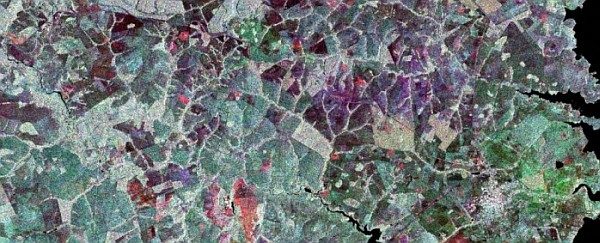
Disponibles las ponencias y talleres de las 14as Jornadas Internacionales gvSIG
Geotecnologías
Geoprocesamiento y SIG
Optimización multi-objetivo alcanza nuevos horizontes
GNSS y Posicionamiento
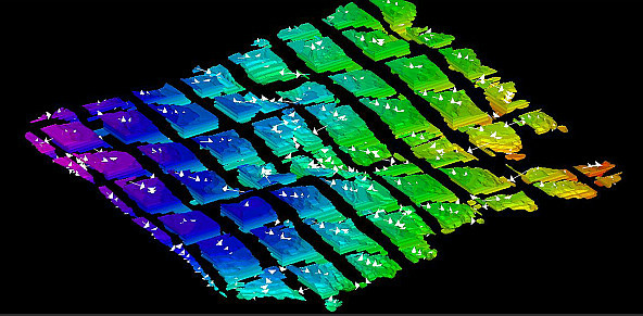
Nuevo nombre y plataforma para la aplicación de datos espaciales Maptek

GNSS y Posicionamiento
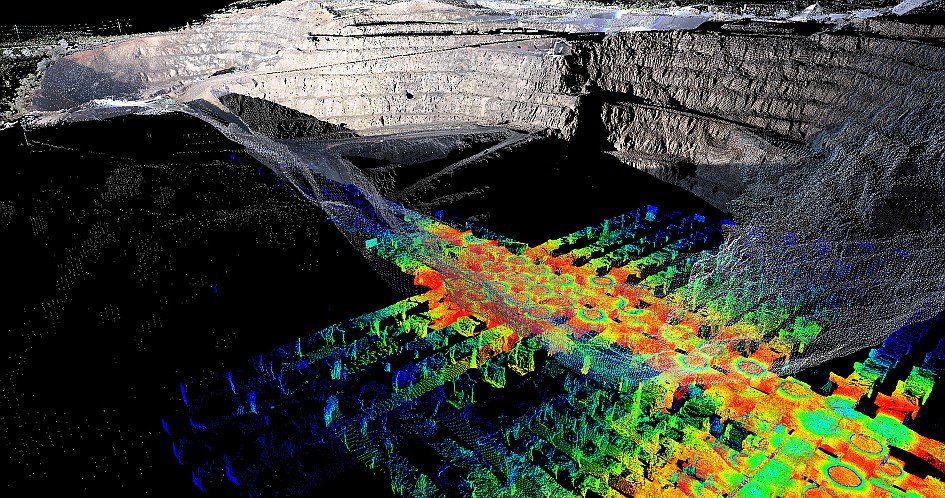
Para acortar el tiempo de mapeo del perfil del subsuelo marino

Geoprocesamiento y SIG
Hexagon lanza su software de análisis y visualización de datos de seguridad pública

Geoprocesamiento y SIG
Inscripciones abiertas en las 5as Jornadas gvSIG Uruguay

Geoprocesamiento y SIG
OGC busca mejorar la integración de Geo con Inteligencia Artificial

Drones y Robótica
Lanzados los sitios de los eventos DroneShow y MundoGEO Connect 2019
Geoprocesamiento y SIG
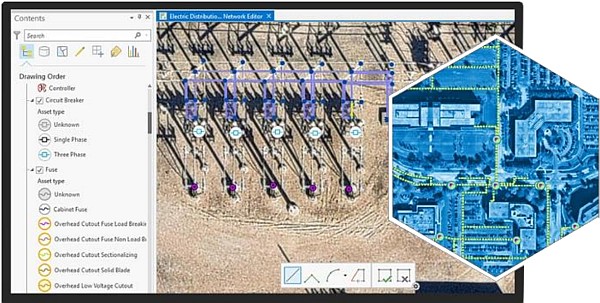
Esri lanza una nueva solución para el inventario y gestión de las redes inteligentes

Geoprocesamiento y SIG
Conferencia Colombiana de Usuarios Esri 2018: del 19 al 21 de septiembre
Editoriales
Calendario de seminarios web
