Drones and Robotics
Space
eVTOL
Geospatial Technologies
Newsletter
WhatsApp
Exhibitions
DroneShow
MundoGEO Connect
SpaceBR Show
Expo eVTOL
Exhibitors
Webinars
Lives
About Us
Social Networks
laser scanner
Geospatial Technologies
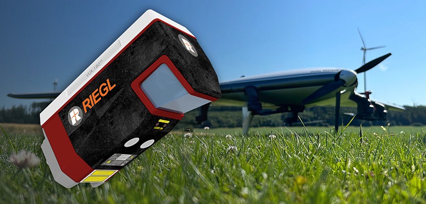
New RIEGL Laser Scanning Solutions for UAV-based Data Acquisition
GNSS and Positioning
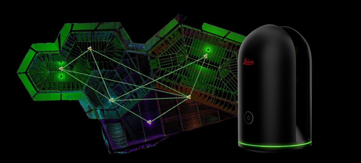
Leica Geosystems announces new 3D laser scanning bundle
GNSS and Positioning
Hexagon app wins UX Design Award
GNSS and Positioning
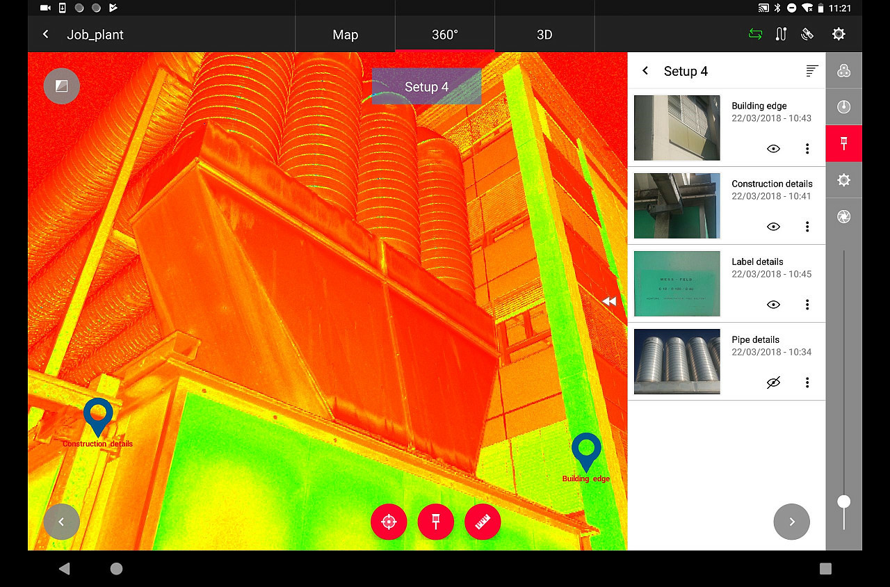
Everything You Always Wanted to Know on “Digital Information in 3D”!
Geoprocessing and GIS
Trimble to Distribute ClearEdge 3D Software
GNSS and Positioning
FARO Releases New Handheld 3D Laser Scanner
GNSS and Positioning
RIEGL with Impressive Display at INTERGEO 2015 in Stuttgart
News
4DMapper Launches Complete Geospatial Data Solution
GNSS and Positioning
Topcon Announces Increased 3D Scanning Integration with Autodesk Solutions
News
Optech presenting the latest mapping solutions for geosciences at EGU 2015
GNSS and Positioning
Leica Geosystems Launches Laser Scanners and Point Cloud Software
GNSS and Positioning
Laser Scanner helps scientists map trees
1
2
3
Next »
Editorials
Drones and Robotics
eVTOL
Geospatial Technologies
Geoprocessing and GIS
GNSS and Positioning
Remote Sensing
Space
Webinar Schedule
14 May 2024 - 16h00
Tecnologia de mapeamento móvel Navvis
Video
LIVE: Precificação de serviços com drones agrícolas, 24/10 às 16h
Sign up for our newsletter
Enter your email
Invalid Email
Calm down, we will not share with any third parties.
Confirm Subscription