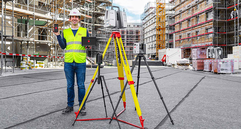
Geospatial Technologies
Introducing GeoSpatial Manager by Maptek
laser scanning
Geospatial Technologies
New RIEGL Laser Scanning Solutions for UAV-based Data Acquisition
Geospatial Technologies
FARO Releases Next Generation Cloud Platform, Sphere XG
Geospatial Technologies
Maptek makes geological modelling simple
Geospatial Technologies
Maptek consolidates on field benefits for high accuracy survey-grade sensors
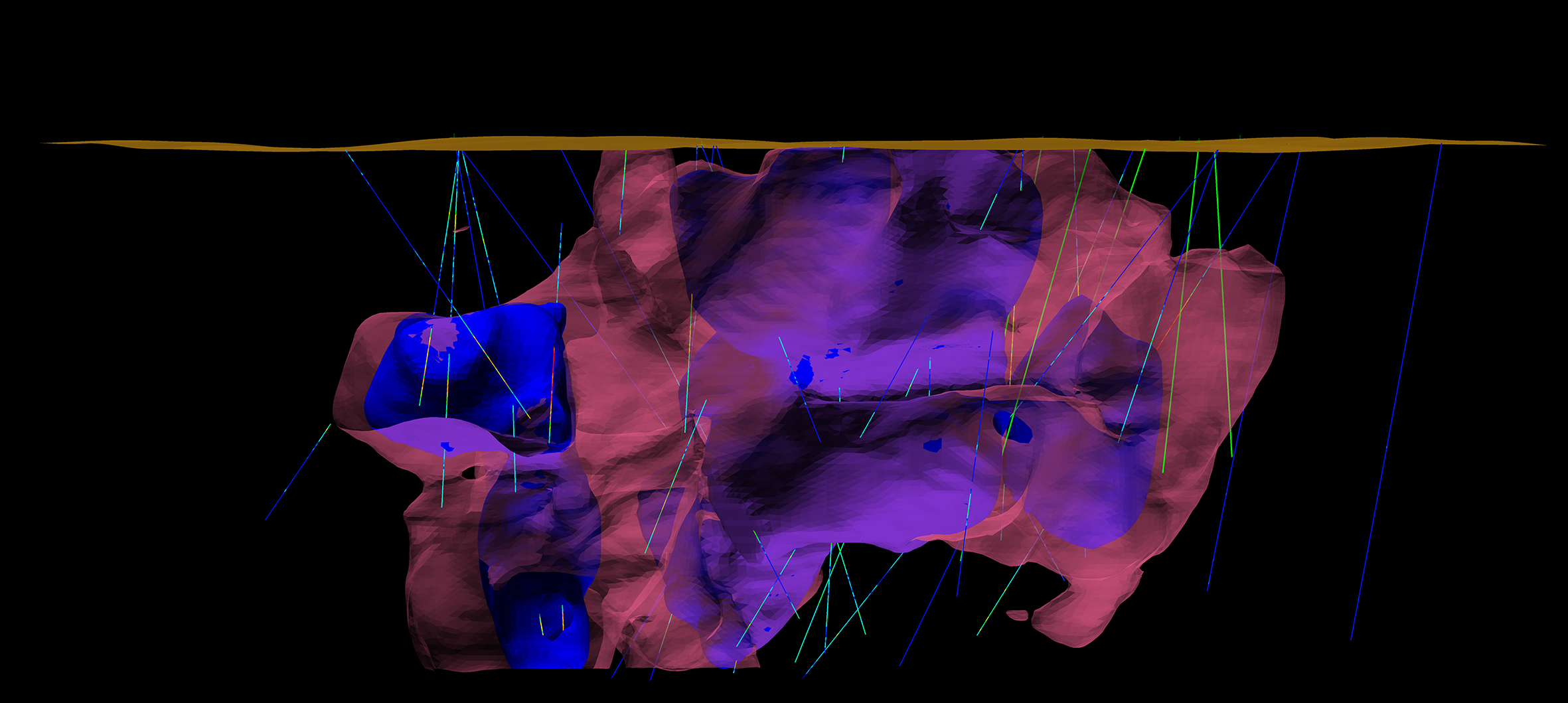
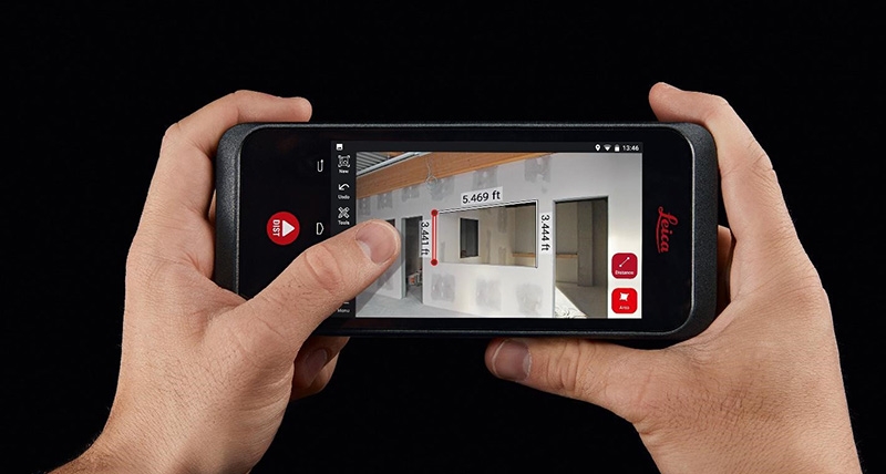
GNSS and Positioning
Leica Geosystems introduces new App for all terrestrial laser scanning portfolio
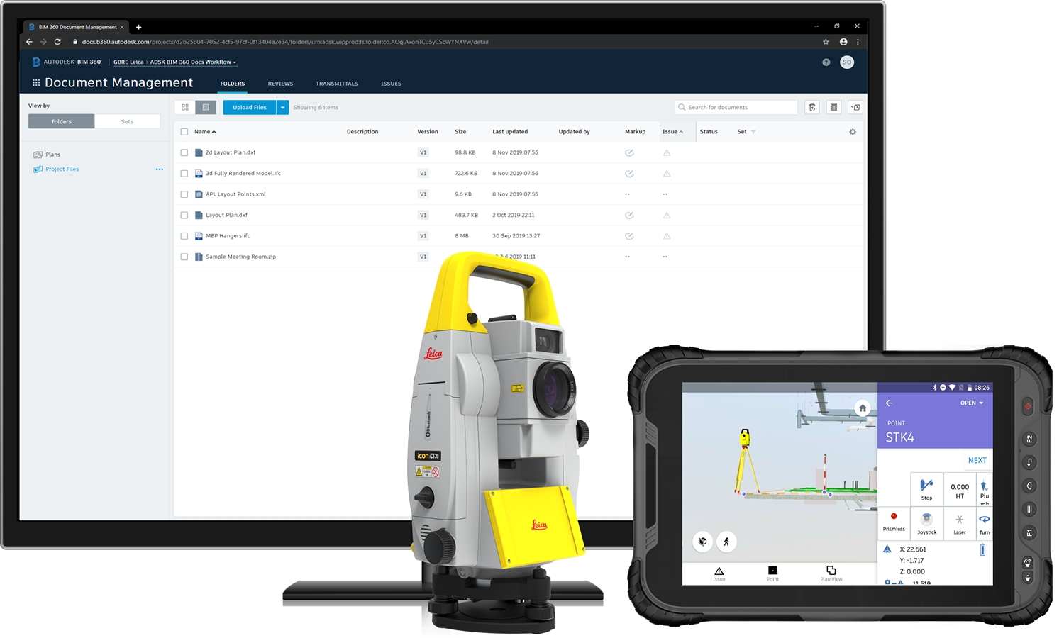
GNSS and Positioning
Enhanced geology and mine design in Vulcan 2020
GNSS and Positioning
New General Manager to lead Maptek in Africa
Geoprocessing and GIS
Leica Geosystems enriches construction collaboration with launch of BLK3D Web
GNSS and Positioning
New SR3 underground laser scanner from Maptek
Editorials
Webinar Schedule