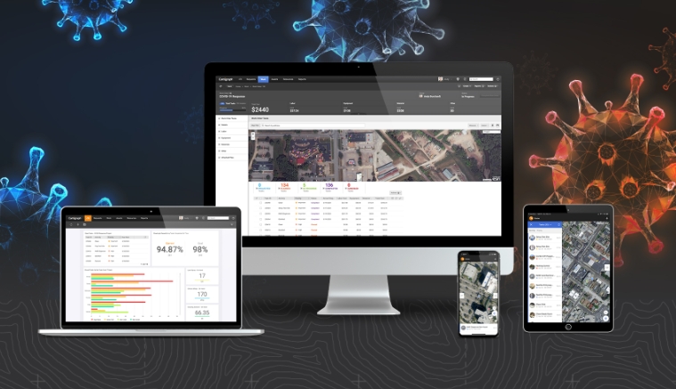
Geoprocessing and GIS
Cartegraph Releases Free COVID-19 Response Software for Local Government Agencies
sig
Geoprocessing and GIS
gvSIG receives the award for the best European open source project
Geoprocessing and GIS
Orbit GT releases Orbit Obliques 11.0
Geoprocessing and GIS
GIS and Remote Sensing Congress in Morocco
Geoprocessing and GIS
Open Source Opportunities in GIS Summer School for GIS professional
Geoprocessing and GIS
IBGE maps surface and ground waters in the Northeast Region
Geoprocessing and GIS
New final version of gvSIG available: gvSIG 1.12
Geoprocessing and GIS
MundoGEO organizes Web Seminars Week
Geoprocessing and GIS
The gvSIG Campus community has just been born
Geoprocessing and GIS
GGL geoprocessing language available in gvSIG
Geoprocessing and GIS
SuperPad to be exhibited at Computex Taipei
Geoprocessing and GIS
gvSIG has created a new website to spread the Project
Editorials
Webinar Schedule