Córdoba is the second-largest city in Argentina with about 1.3 million inhabitants. It was founded in 1573 and it is located near the geographical centre of the República Argentina, with an extension of 576 km2. It has a strong historical, cultural and university stamp, and its economic activity is diversified between industrial, services, fruit horticultural (green belt of the city) and construction sectors.
Nowadays its Land Registry has over 480,000 buildings and 68 million m2, with an annual rate (an average of the last 5 years) of growth of 7,300 new buildings and over 1.7 million m2.
Local Land Registry, founded in 1930, is responsible for managing and keeping updated all the geometric, valuative and legal information of near half a million buildings which made up the city, contributing to the safety of property trade, safe ownership of the land, territorial organization and urban financing through predial tax.
It is essential for the fulfillment of its purposes to have territorial information, not only of quality but also of easy and efficient access. Until 2005 physical medium of information and manual process restricted to attain new challenges. SIT implementation, based on ESRI GIS platform, was not only an appropriate response but it also allowed to achieve a digital, open land registry at the service of the city.
Territorial information management until modernization

The last cartographic work developed by the Municipality of Córdoba was the edition of the Official Map of the city in 1986. After that, there were not renewal, training or updating plans on the cartographic production tools.
Deeds register was made with the same techniques used in 1940, when the first cadastral maps detailed by block were drawn. Many of these documents were still used and although the data maintaining kept going, the register was unconnected, the documents showed isolated “parts” of the city, often difficult to join, and manual process did not allow to guarantee quality of data. The model and updating techniques were deficient for the city and current challenges and demands.
Land registry modernization
On December 2005, a project has begun in order to systematize the management of cartographic information and looking forward to a complete modernization of the Local Land Registry. This project had the financial support of the Inter-American Development Bank (IDB). Activities included the supplying of computers, printers and plotters, ESRI GIS software (ArcSDE and ArcIMS, which have become ArcGIS Server Standard Enterprise and 14 Desktop licenses, among ArcInfo, ArcEditor and ArcView) and consulting services for the implementation of specific work and training.
The project focused on incorporating the great amount of existing graphical data and implementing them on an environment based on GIS technology, working with a single special database on which data maintenance, cartographic printing, consultation and land administration will run simultaneously. The first stage, until the end of 2007, focused on database development, digitalization and integration of information, development on special functionalities in ArcSIG Desktop and development of capacities in the organization. The second stage, without the financial support of IDB, and run by trained staff from the municipality, focused on data reorganization, increase in processes quality and distribution of information, mainly through a web application based on ArcGIS Server.
Aeroterra S.A., ESRI distributor for Argentina and Uruguay, was responsible for software GIS training. Courses and practices were carried out trough induction courses system, management and development GIS technologists, in the company Training Centre following the “in company” model, which turned out to be extremely profitable for the municipality.
T he municipality consider the great cost-benefits ratio very positive. In total the investment did not exceed U$S340.000, of which %75 were BID funding and the remainder were own resources for satellite images and regularization of informal settlements. Involvement and commitment of organization human resources were the key to the achievement of success in the reform.
Management, maintenance and distribution of territorial information
Database design was guided by the directives of “Catastro 2014” (FIG, 1998) and in conjunction with a participatory process, managed to obtain a solid database with the current and future identified needs.
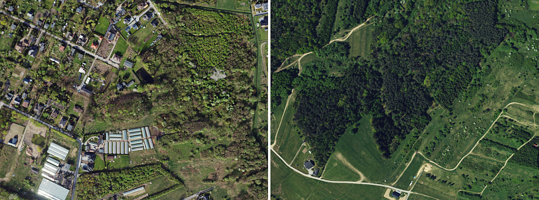
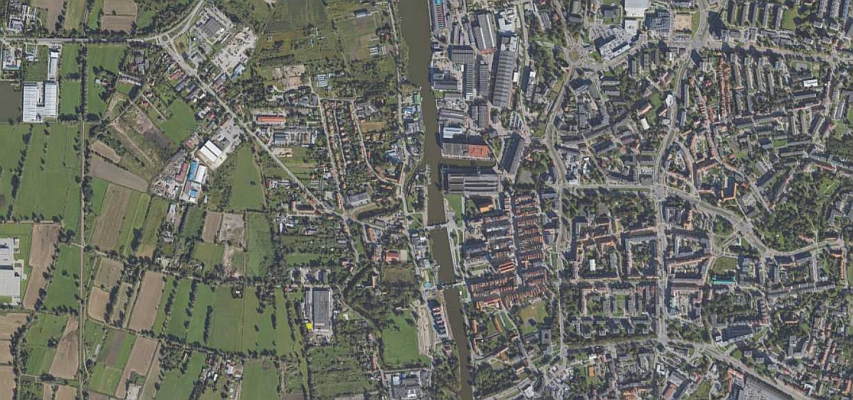
Current database is geo-referenced in the official system of the República Argentina and has all deeds register’s own data (plots, plot boundaries, possessions, expropriations, width of public streets, etc.), land values (block by block), administrative divisions, natural features, urban nomenclature (addresses, appropriate for geocoding), relevant facts (drawings which have not been approved and irregular division of plots), more than 30.000 scanned maps (cadastral and topographical old maps) and 3 orthorectified high definition satellite images (IKONOS 2005 and Quick Bird 2007 and 2009). The model has more than 30 objects (types) and about 200 descriptive data (attributes) and has a size of 40 GB.
It is implemented in a geodatabase on ArcSDE 9.3 and SQL Server 2003, running on an IBM server, with 4 XEON (dual core) of 3.16 ghz, 4 GB of RAM, RAID SCSI of mirrored disk of 140 GB and one non-mirror disk of 280 GB.
Another important aspect was map design, to which ESRI products offered versatile and professional solutions. More than 60 standard maps based on layout view were produced, allowing changes only on feature content and location within the city, with preestablished scales in order to achieve uniformity in print output and PDF documents.
The content of each map comes from geodatabase, which is permanently maintained, so that all the information provided by the Land Registry is up to date, allowing to offer a high quality service. This updating requires the commitment of continuous training of GIS professionals, staying on the top of innovation of ESRI products used. On Updating area 6 jobs are occupied with ArcInfo and ArcEditor licenses, working on a database versioned in multiple editing sessions, which allows editing without blocking the functions of production version, or impact immediately on other users. GIS staff is complemented by 2 developers and one geo DBA.

eMAP
One of the main products developed in the second stage was eMAP, a powerful web system of territorial information management based on ArcGIS Server. Data access diagram is complemented by ArcGIS Desktop clients, AutoCAD clients through ArcGIS for AutoCAD and other GIS clients, such open source gvSIG, through a WMS (Web Map Service).

eMAP has a wide range of functions like getting cadastral information through multiple searching, cadastral management tools such as reservation of the nomenclature, different map services (public lighting, private works, official plan of Córdoba city, values map), the possibility to report incidents, quality of output maps and links which associate the map with the bank of scanned maps.
Nowadays, more than 500 internal users work with eMAP daily. On the matter, Orlando Ferraro, Director of Urban Planning of the municipality, says: “I used eMAP daily, it is rich in information and one of its advantages is that it can be reached through different ways. Moreover, it is very positive the fact that eMAP was able to incorporate data infrastructure from other areas, such Private Works. Actually, it is a great tool that we have to consolidate with a better internal spreading. Only the ones who did not know it, did not use it; the only limit is will.


Migrating to ArcGIS 10 and toward the web
Since last quarter of 2010, Córdoba Land Registry has been on a new project, migrating from version 9.3 to 10, which includes a new hardware platform (nearly a utopia for a public institution, considering the “scarce resourses”).
New developments plan to increase processing and response capacity, publish services based on MSD, which uses a quickdraw engine, offer our data to the world (eMAP on internet) and incorporate the edition via internet.
Access to internet, at the first stage, will be addressed to specialized users, including: public services companies (water, energy, gas and telephony), government areas which are outside municipality’s data network, and professional colleges linked to land management (notary public, architects, engineers and surveyor), in order to bring access, internal and via internet, to 1000 users by the end of 2011.
Conclusions
The City Cadastre is today the result of major transformations in recent years, committed and innovative. The Current Municipal Cadastre, wich manages nearly half a million of real estate, is a modern institution, with data and systems fully digital environment with more and better land information, relevant to financial local and major improvements in its services and quality care. The Cadastre of the city went from AR $124 annual millon turnover of real estate for $ AR 515 million in 3 years, no additional budget and without trauma to the municipality. Cadastral registration level increased nearly 200% in the last 3 years (with an average of 4.700 new properties recorded) to 2011, when there were nearly 12.000 properties, while lowering the level of informality of tenure of the earth.
The Cordoba Cadastre is now more accessible more efficient and more useful, and also a great potential for the future.
It should be noted that the result most valuable and enduring in time are the significant cultural change in the way of working, to face the challenges and problems of interpreting the good land administration. The institutional strengthening and the capability development which was the Municipality of Cordoba Cadastre subject register.
Authors
Sonia Tobarez, Information System Engineer, professional in GIS System area of Land Registry Department, Municipality of Córdoba, since 2004.
German Cacciamano, Survey Engineer candidate, GIS professional in Cartographic area of Land Registry Department, Municipality of Córdoba, since 2004.
Publish by Aeroterra SA y Esri Inc