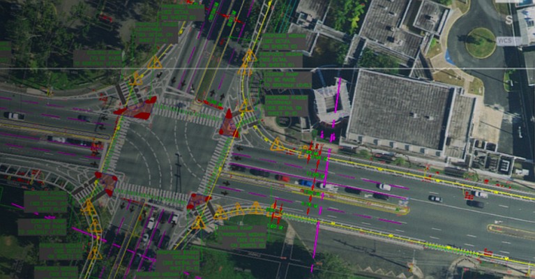
Esri has signed an agreement with NAVTEQ, the leading global provider of maps, traffic and location data to provide worldwide map data on ArcGIS Online and ArcGIS Data Appliance. This is useful for organizations that depend on up-to-date, high-quality basemap data for routing and other location-finding tasks.
“Esri and NAVTEQ share a solid vision for providing a worldwide GIS database with high-quality and ready-to-use basemaps,” says Esri president Jack Dangermond. “This agreement reflects our users’ need for rich, detailed, and accurate map data, as well as Esri’s commitment to meet the needs of states, counties, local governments, and commercial organizations of all sizes.”
ArcGIS Online provides a common platform to find, share, and organize geographic content to build geographic information system (GIS) applications. Through ArcGIS Online users can access ready-to-use global basemaps and task services such as geocoding and routing to build their own maps and apps, and easily share them with a broad community of users.
ArcGIS Data Appliance is a unique combination of hardware and data that provides the security and performance that users need. The enterprise scalable server plugs into an organization’s internal network and serves terabytes of worldwide reference map data.
“ArcGIS Online and ArcGIS Data Appliance require an authoritative map designed for efficient implementation,” says Larry Kaplan, president and CEO, NAVTEQ. “We are committed to providing Esri with robust, accurate data as well as strategically collaborating together on global research and development, sales, and marketing activities.”
NAVTEQ map data will be available on ArcGIS Online and ArcGIS Data Appliance in June, 2011, with coverage in Australia, New Zealand, and South America. Broader coverage will be available later this year.
Follow us on Twitter!


