Hyperlocal Community Bank Uses Market Data to Get to Know Its Customers
Esri announces that Bank of Clarke County, a full-service community bank with 12 branches throughout Northern Virginia, has adopted Esri’s Location Analytics platform to drive better performance and customer insight. Esri partner Datastory Consulting created several interactive analyses for bank directors to better visualize and understand the market potential and help them align the organization’s growth strategy with opportunity while reducing risk.
 “Esri Location Analytics is helping our managers understand how to apply 130 years of bank experience as we grow into a new marketplace, instead of letting the new marketplace take over us,” said Serena Bowen, business analyst, Bank of Clarke County.
Bank of Clarke County’s leadership recognized that continued growth required more detailed analysis to better target its products and services to the exact needs and requirements of customers. Using the Esri location platform, including ArcGIS Online and Esri Business Analyst Online, Datastory’s team detailed market assessments that considered area demographics, consumer expenditures, and customer lifestyle information combined with hyperlocal data about new residential and commercial developments and transit patterns.
“Delivering this information to the bank over a cloud-based infrastructure means that IT resources are not affected,” said Matt Felton, president of Datastory Consulting. “Best of all, the solution can be accessed anywhere by anyone.”
These analyses were provided to the bank as interactive maps and dashboards so bank directors and management staff can explore and assess the bank’s site selection and marketing decisions. With this newfound market awareness, Bank of Clarke County is making knowledge-based decisions driven by local data about how to successfully attract new customers while continuing to serve existing ones.
“Datastory helped make sense of big data and convert it into pockets of insight that are tailored to the specific needs of the bank’s personnel,” said Simon Thompson, director of commercial industry at Esri. “This is deepening the bank’s understanding of opportunities and shaping market strategies throughout the organization.”
For more information on how Esri helps the financial services industry better serve its customers, visit esri.com/banks.
Free entry for the largest geospatial trade fair in Latin America
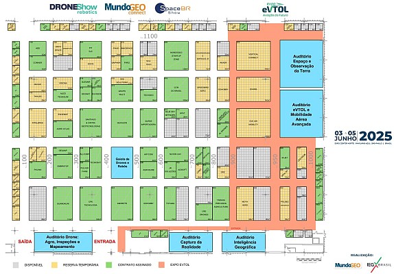
MundoGEO#Connect LatinAmerica 2014 (https://mundogeoconnect.com/2014/en), Conference and Trade Fair of Geomatics and Geospatial Solutions, will be held from May 6 thru 9 May at Frei Caneca Convention Center in Sao Paulo, Brazil, offering 30 courses, seminars, special events and professional meetings. Al inscribirse en dos actividades, el participante podrá seleccionar un curso, seminario o evento especial para asistir sin costo algun. By subscribing in two activities, the third one will be free. Check out the conference program (https://mundogeoconnect.com/2014/en/program/).
MundoGEO#Connect trade fair will have free access through previous registration (https://mundogeoconnect.com/2014/en/accreditation-to-the-fair/). For further information, contact MundoGEO by e-mail connect@mundogeo.com or call +55 (41) 3338-7789 / (11) 4063-8848.


