There’s no doubt that AI is becoming increasingly important for the timely analysis of large amounts of ‘big data’. “Our rasdaman platform makes it very easy to apply models anywhere, anytime. However, we have found that models lose accuracy very quickly when they are applied outside the comfort zone of their training data,” explains project leader Prof. Dr. Peter Baumann, and continues, “in the good case we have observed 85% accuracy and more, in the bad case this can erode to 20% – if you flip a coin, you’re better off than with AI.”
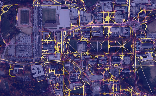
The innovative research approach involves restricting AI models to situations in which they produce acceptable results. Baumann calls this “model fencing” and gives an example: “If a model is supposed to classify land use, such as wheat or built-up land, it will only hallucinate about the ocean, i.e. deliver nonsense. Sometimes this is very easy for humans to spot, but when AI is used in the middle of an automated processing chain, there is no way to check. The consequences can range from serious to catastrophic.”
“The current AI landscape is reminiscent of the Wild West, with people often shooting from the hip,” says Dr Dimitar Misev, who gained international fame for extending the SQL database standard to include data cubes. International experts are very interested in the topic, and informal collaborations have been established as far away as Australia, particularly in the broad area of data quality and trust. The FAIRgeo project (Fencing AI for Enhanced Reliability in Geo Services) is funded by the State of Bremen under the European Regional Development Fund (ERDF). The consortium consists of Constructor University and rasdaman GmbH. The project will run for 24 months. The concept of federated AI-Cubes allows the integration of both fixed data pools (such as Copernicus data centres and individual local servers) and mobile data sources (such as drones and satellites). The interfaces are based on the open, civilian standards of ISO, OGC and EU INSPIRE. This means that a wide range of standards-compliant clients are immediately available, from map views to web GIS and complex data analysis.
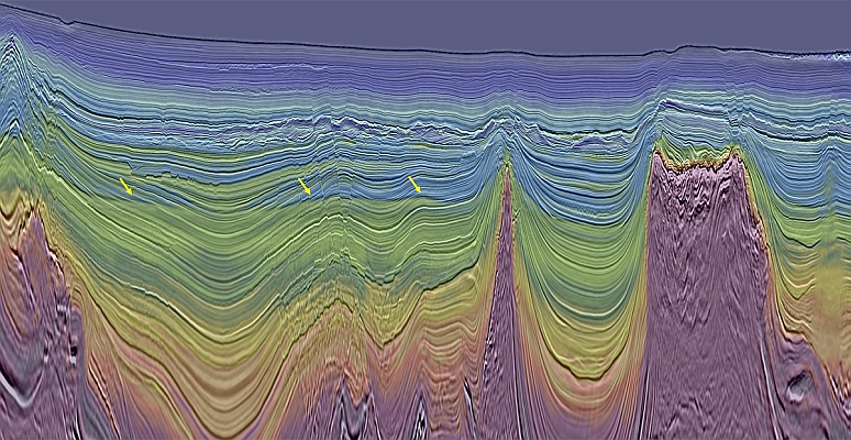
Source: FAIRgeo
MundoGEO organizes the DroneShow, MundoGEO Connect, SpaceBR Show and Expo eVTOL exhibitions annually in São Paulo, Brazil. See the highlights of the latest edition: