ZenaTech, a technology business solution provider specializing in AI (Artificial Intelligence) drone, Drone as a Service (DaaS), enterprise SaaS and Quantum Computing solutions, announces it has signed an offer to acquire a well-established Utah-based commercial surveying and 3D mapping company specializing in LiDAR processing, drone-enabled data capture, and large-scale solar site development clients. This acquisition represents ZenaTech’s strategic entry into the fast-expanding solar infrastructure market, unlocking new growth avenues for advanced aerial data services for developers engaged in planning, design, construction and maintenance of solar farms and other solar energy projects.
“Entering the commercial solar development and maintenance sector is a significant milestone for ZenaTech,” said Shaun Passley, Ph.D., CEO of ZenaTech. “Solar infrastructure demands high-precision surveying and rapid data turnaround. This acquisition instantly brings these capabilities to our Drone as a Service platform and expands us into this untapped market to provide scalable, drone-enabled solutions that will drive efficiency and speed.”
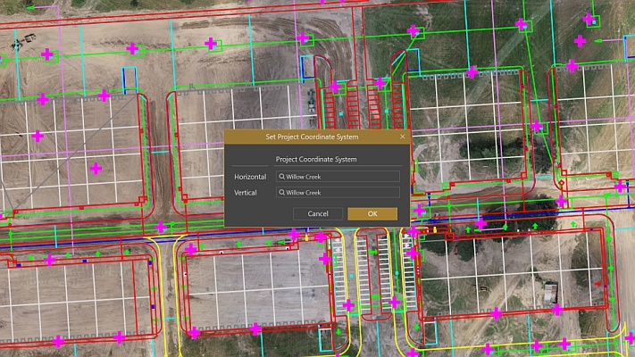
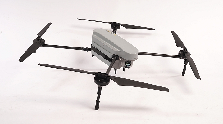
The target firm brings proven operational drone technology experience in both surveying and drone data processing for large commercial solar projects. With deep expertise in LiDAR scanning, 3D mapping, and drone-integrated workflows, the company supports high-fidelity terrain mapping, site planning, and virtual project visualization, delivering critical data to major solar developers nationwide. By combining their drone-enabled data capture and processing capabilities with ZenaTech’s proprietary analytics and automation tools as well as ZenaDrone drones, the combined platform will enable faster turnaround times, improved data accuracy, and an expanded scope of services.
According to the Grand View Horizon, the solar energy systems market in North America is growing at over 15% per year. Despite rapid expansion, many solar developers still rely heavily on manual surveying and traditional site assessment methods, creating significant opportunities for drone-based automation to reduce costs, improve accuracy, and accelerate project timelines.
Currently, ZenaTech has completed 12 US acquisitions toward its goal of acquiring and establishing 25 DaaS locations by the end of Q2, 2026. The DaaS model offers business and government clients flexible and on-demand or subscription-based access to drone services for surveying, inspection, maintenance, power washing, inventory management, and precision agriculture without the capital costs or operational burdens of ownership. By acquiring established, profitable service companies ready for drone innovation, ZenaTech is building a global, multi-service DaaS network anchored by existing customers and recurring revenue.
Source: ZenaTech
MundoGEO organizes the DroneShow, MundoGEO Connect, SpaceBR Show and Expo eVTOL exhibitions annually in São Paulo, Brazil. See the highlights of the last edition: