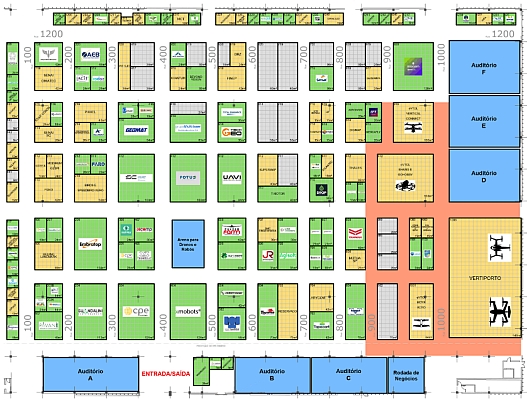
DroneMetrex demonstrated its innovative UAV photogrammetric mapping system TopoDrone-100 to international visitors in the framework of the Smart Geospatial Expo, an international conference, forum and exhibition featuring the newest and the most advanced global trends in the spatial information industry. The event was held at COEX, Seoul, on 25-27 August 2014, and was hosted by the Korean Ministry of Land, Infrastructure and Transport. 
DroneMetrex arranged a series of presentations and mapping demo flights to showcase the benefits and unique features of the TopoDrone-100, including unprecedented accuracy – 10mm horizontal and better than 25mm in height. The TopoDrone-100 performed two mapping demo flights; one – over a University complex and the second one – over a mountainous terrain golf course. Although the mountainous golf course presented turbulent flying conditions, it was not an issue for the system because the TopoDrone-100 is the only mapping system to feature the Revolutionary Dynamic-Stabilised Active Mount (DSAM) to ensure “no crab” (yaw) and active compensated tip and tilt, which ensures near-nadir photogrammetric imagery. The DSAM also ensured reliable and consistent side overlap for each flight run, despite the turbulent winds and high flight crab angles.
DroneMetrex also demonstrated their Direct Georeferencing System and produced mapping of the golf course with no ground control! Accuracies were independently checked and verified: DroneMetrex achieved 4cm accuracy from the 4cm GSD imagery. At the end of the flight sortie, the TopoDrone-100 had to land on dirt during light rain. However, this provided no difficulties because the high-quality camera was protected by the TopoDrone’s unique protective door system, safely and cleanly “cocooning” the important mapping payload system.
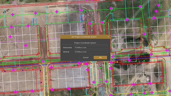
DroneMetrex photogrammetrists quickly processed the acquired imagery and within one day generated mapping products including high density point clouds:
http://new.dronemetrex.com/gallery/
International visitors could see that the TopoDrone-100 is a proper photogrammetric system delivering high quality, accurate data quickly and allowing to use the generated mapping products for many different applications: measure and monitor surface changes on a regular basis, update topographic maps, use the data for town planning and civil engineering purposes and many others.
“We received so many flattering comments from our visitors who understood the unique advantages of the TopoDrone-100 accurate mapping system! We continue strengthening and enhancing our presence at the Korean market and guarantee high technology products of unsurpassed quality to our clients,” DroneMetrex Managing Director Tom Tadrowski said.


