 Coregal aims at developing a low cost unmanned aerial platform and service for biomass mapping will allow wide scale mapping in the Brazilian context of forest management. A first of a kind combined Position-Reflectometry Galileo receiver is developed as main sensor for platform positioning and biomass estimation, the latter using reflected Global Navigation Satellite Systems (GNSS) signals (also called GNSS-R) that propagate through tree canopies, branches and leafs. High positioning accuracy (centimetre level) is required for GNSS-R purposes, which is challenging for remote areas where no GNSS ground support infrastructure is available as in the case of many forests in Brazil. However, Galileo AltBOC E5 signals offer unprecedented pseudorange measurement quality which can be used for high accuracy positioning.
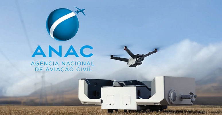
A fixed-plane Unmanned Aerial Vehicle (UAV) will be equipped with a Coregal receiver and optical cameras for aerial mapping and biomass estimation, enabling wide scale low-cost mapping: UAV aerial mapping is at least one order of magnitude lower cost than manned air-borne missions while GNSS-R can be seen as bi-static RADAR replacing expensive, heavy and power consuming radars. Integrating positioning and reflectometry in a single device within a UAV offers a unique value proposition where Galileo and GPS are uniquely combined for increasing the number of reflected signals and positioning quality. Furthermore, GNSS-R signal properties allow lower saturation in signal backscattering when compared to traditional RADAR systems, allowing higher sensitivity to higher biomass applicable to the Brazilin forests.
Test campaigns will be performed to validate the Coregal platform and approach, including comparison and combination with satellite-derived data, which is expected to improve accuracy of local biomass maps. Such maps will be converted into carbon maps allowing enhancements in carbon cycle modelling with far reaching implications. Test results are expected to demonstrate the concept as part of a service to be commercially provided, which could be expanded to other countries. Such an approach is expected to enable substantial cost reduction and high accuracy biomass maps allowing accelerating the adoption of Galileo-based technology in Brazil.
Partners: Deimos Engenharia (coord), Deimos Space , Geonumerics , Tecnalia, University of Nottingham, Max-Planck-Gesellschaft , Gamma Remote Sensing, Università degli Studi di Roma Tor Vergata, ENGEMAP, Universidade Estadual Paulista, Mundo GEO
Project Funding: European Commission H2020: 641585 under the call Galileo-2014-1, international cooperation topic.
Start: 1st January 2015 | End: December 2017
Total Cost: 1,225,000€


