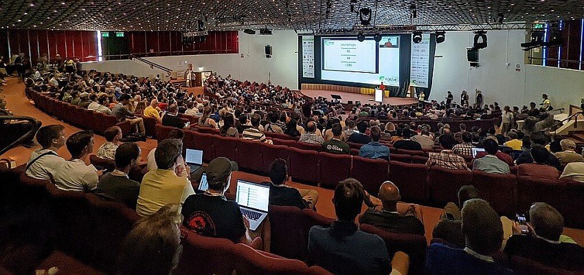
 Developers from around the world will find the latest technology for building geoenabled apps on the ArcGIS platform at the Esri Developer Summit (DevSummit), November 10–12, 2015. Attendees will get an exclusive look at some of the newest products from the world leader in mapping technology. In addition, Esri will offer in-depth training and one-on-one sessions with the company’s development teams.
This year, DevSummit will focus on two big trends that are changing geospatial development: app builders and modernized APIs and SDKs.
App builders make it easier to create mapping applications that run on any device and all major platforms. Esri offers AppStudio for ArcGIS and Web AppBuilder for ArcGIS. Both give developers the power to quickly build apps without coding, then customize and configure them and add specific features.
Modernized APIs and SDKs come with unprecedented capabilities, giving developers the opportunity to build anything they can dream up. Esri’s Quartz release of ArcGIS Runtime SDKs allows developers to build apps with 3D maps, on-the-fly analysis, and offline capabilities. And with ArcGIS API for JavaScript, developers can embed dynamic web apps that are customizable with new vector-based map tiles.
“One of the many things we are excited to demo at DevSummit is ArcGIS Runtime, which is a powerful platform for native application development. Its architecture really does exploit the capabilities of the devices we have in our hands every single day,” said Euan Cameron, chief technology officer of the Esri Developer Product Group.
The event will offer more than 50 technical workshops covering JavaScript, .NET, Python, iOS/OS X, Android, and Qt. Networking events are scheduled throughout the summit to give developers a chance to collaborate and learn from one another. Attendees are also encouraged to talk directly with Esri developers, ask questions, and get inside tips for building game-changing mapping apps.
For more information and to register for DevSummit, visit esri.com/events/devsummit-europe.
Source: Esri


