Coal is a major chemical raw material used significantly for power generation, heating, and other applications in many countries. This resource is known to be limited in quantity, and its extraction may result in the release of harmful chemicals into the air and water. It is, therefore, essential that the development of new coal resources be conducted in a rational and environmentally optimized manner.
New technologies allow for rapid and efficient expansion of coal mines, such as acquiring spatial data of any volume in a minimum amount of time using aerial survey solutions. Moreover, due to many mines’ challenging topography and hazardous environment, aerial surveys are generally the best possible option for collecting the GIS data needed to formulate effective engineering solutions for the sites.
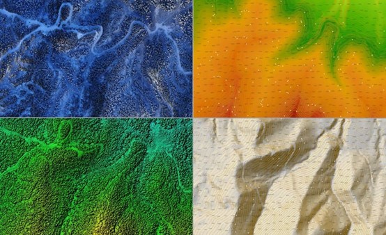
The project, implemented by the CHCNAV’s partner, describes the creation of a DEM (digital elevation model) by performing large-scale topographic mapping of a future coal mine using the AlphaAir 450 LiDAR system. The AA450 is a lightweight and rugged system that integrates a high-performance laser scanner with a professional 26 MP industrial-grade camera and a high-accuracy inertial navigation system for quality mass data collection.