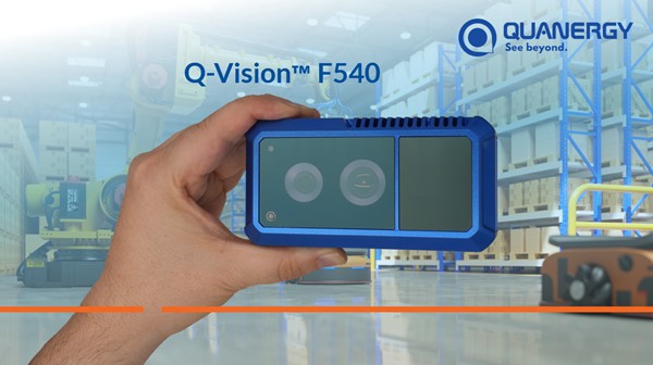
Geointelligence Quanergy Solutions Introduces Q-Vision F540: A Revolutionary 3D LiDAR Sensor for Industrial Applications
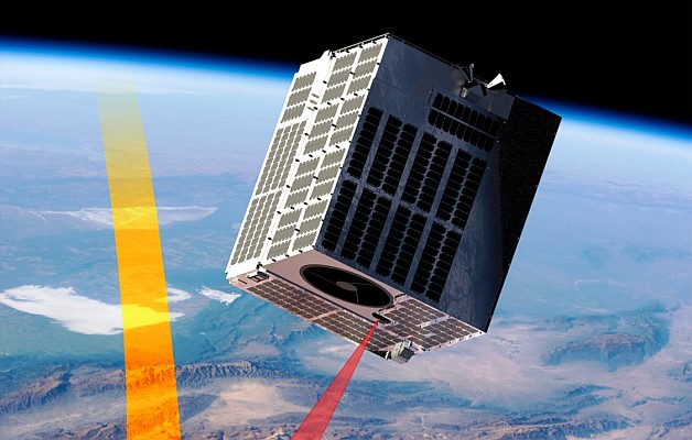
Geointelligence Space Flight Laboratory selected by NUVIEW to develop pathfinder satellite bus for its space-based LiDAR constellation
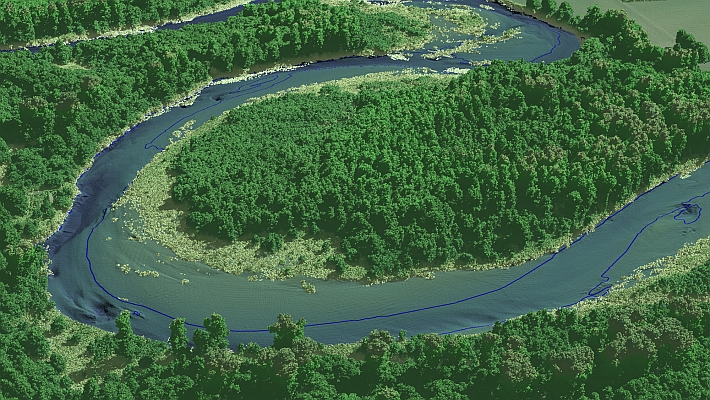
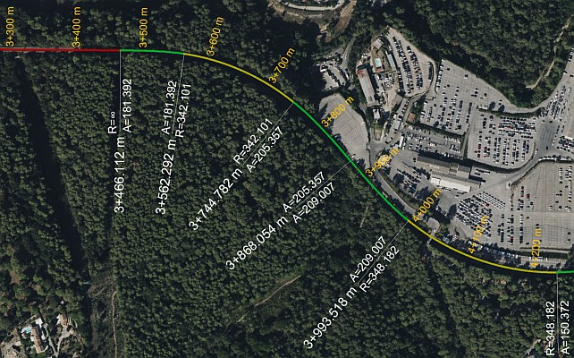
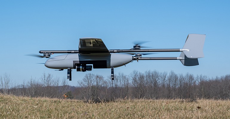
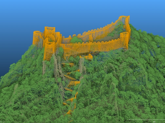
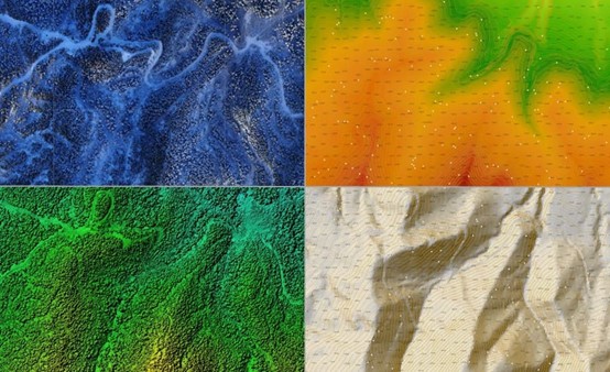
Geointelligence Using the AlphaAir 450 to create a Digital Elevation Model (DEM) for a coal mine project
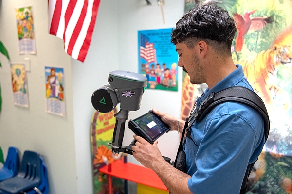
News - GNSS and Positioning Leica Geosystems Offers Mobile, Agile 3D Reality Capture Solution for Boston Dynamics Spot
News - GNSS and Positioning International Lidar Mapping Forum Announces New Keynotes: Jack Dangermond and Geospatial Executives Panel