

SimActive Inc., a world-leading developer of photogrammetry software, announces a new LiDAR workflow integrated in its Correlator3D™ product.
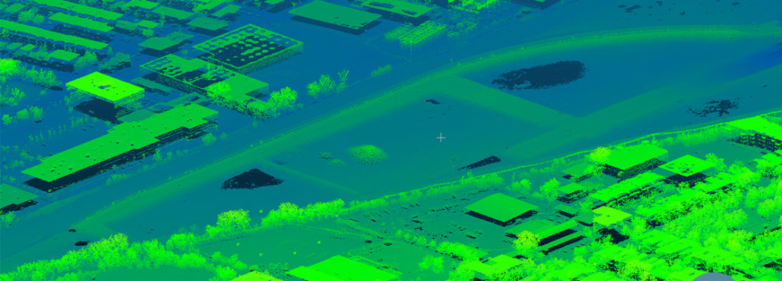
The capability allows to import a point cloud in the software and to perform registration with an image dataset.
Using LiDAR as control eliminates the need for traditional ground control points (GCPs) when processing the photos.
The registration occurs during aerial triangulation, leading to a precise alignment of imagery with the LiDAR data.
Following this, Correlator3D™ can output colorized point clouds as well as seamless orthomosaics.
“Removing the need to manually tag GCPs facilitates the integration of LiDAR data with imagery. Our clients can benefit from different data sources, with perfect co-registration”
Dr Philippe Simard, President of SimActive


