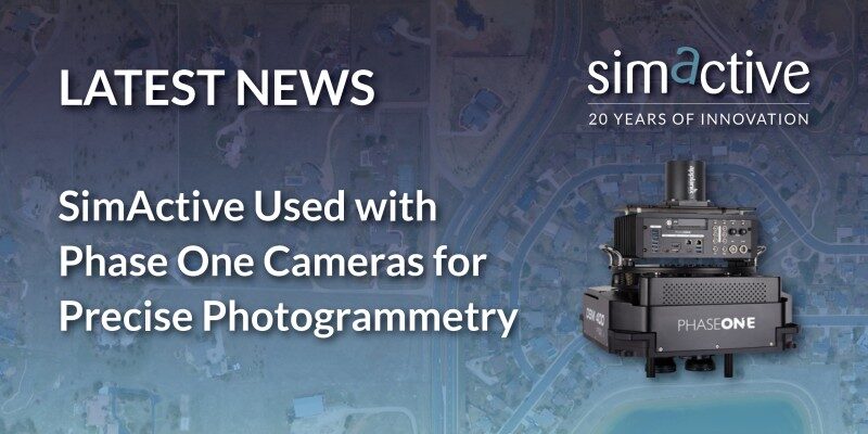
SimActive Inc., a world-leading developer of photogrammetry software, announces the use of its Correlator3D product by Phase One camera users around the world. SimActive software is used to process imagery from the smallest sensor the IXM-50 typically used with drones, to larger ones such as the PAS 880i NIR which includes oblique and nadir systems for citywide mapping.
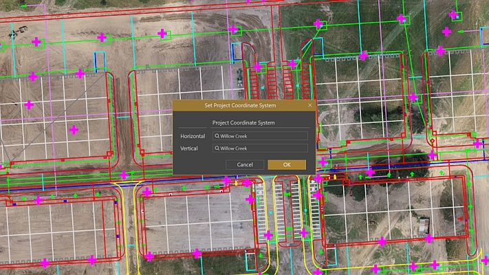
Correlator3D allows importing very large projects in the native Phase One IIQ format. This eliminates the need for conversion to TIF and reduces project setup time when working with thousands of images. Then, the processing workflow remains the same regardless of sensor size. Outputs including DSMs, DTMs, point clouds, orthomosaics and 3D meshes are all generated with the highest degree of precision.
“Being able to import our native IIQ format means SimActive software is making full use of our 16-bit data”, said Kevin Graville, System Sales Manager with Phase One. “Correlator3D’s ability to process very large datasets is right in line with our clients’ expectations.”
About Phase One
Phase One – a pioneer of digital imaging sensors and airborne systems for the Geo market and the largest provider of aerial cameras based on a long tradition for outstanding image quality and reliable sensors. Founded in 1993, Phase One is a pioneer of digital photography. Phase One has developed core imaging technologies and a range of digital cameras and imaging modules, providing the world’s highest image quality in terms of resolution, dynamic range, color fidelity and geometric accuracy. As such, Phase One has grown to become the leading provider of high-end imaging technology across many demanding business segments, such as aerial mapping, industrial inspection and cultural heritage digitization, as well as serving the world’s most demanding photographers. For more Information, visit www.phaseone.com.
About SimActive
SimActive is the developer of Correlator3D™ software, a patented end-to-end photogrammetry solution for the generation of high-quality geospatial data from satellite and aerial imagery, including drones. Correlator3D™ performs aerial triangulation (AT) and produces dense digital surface models (DSM), digital terrain models (DTM), point clouds, orthomosaics, 3D models and vectorized 3D features. Powered by GPU technology and multi-core CPUs, Correlator3D™ ensures matchless processing speed to support rapid production of large datasets. SimActive has been selling Correlator3D™ to leading mapping firms and government organizations around the world, offering cutting-edge photogrammetry software backed by exceptional customer support. For more information, visit www.simactive.com.


