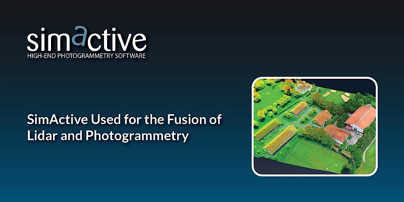
SimActive Inc. announces that Dewberry is utilizing its Correlator3D software to combine lidar and imagery data for enhanced map product creation. This fusion allows for the direct import of lidar data and its integration with image-derived surfaces and color information, resulting in precise surface models, colorized point clouds, and orthomosaics.
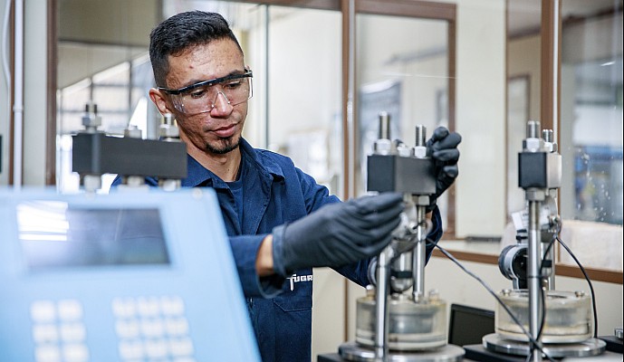
Dewberry employs dual sensor systems, capturing both lidar and imagery, ensuring complete coverage and superior mapping deliverables for a diverse clientele. Projects like cross-country corridors use imagery to colorize point clouds, aiding in vegetation encroachment analysis. In areas involving water, topobathy lidar is fused with elevations derived from imagery to create a more comprehensive surface model.
“We like Correlator3D’s ability to merge multiple datasets and create high-quality mapping products quickly”, said Ryan Ligon, Geospatial Technology Manager at Dewberry. “Our project varies from a few flight lines to wide area mapping and Correlator3D handles it all, making our job much easier.”
About Dewberry
Dewberry is a leading, market-facing firm with a proven history of providing professional services to a wide variety of public- and private-sector clients. Recognized for combining unsurpassed commitment to client service with deep subject matter expertise, Dewberry is dedicated to solving clients’ most complex challenges and transforming their communities. Established in 1956, Dewberry is headquartered in Fairfax, Virginia, with more than 50 locations and 2,000+ professionals nationwide. For more information, visit www.dewberry.com.
About SimActive
SimActive is the developer of Correlator3D™ software, a patented end-to-end photogrammetry solution for the generation of high-quality geospatial data from satellite and aerial imagery, including drones. Correlator3D™ performs aerial triangulation (AT) and produces dense digital surface models (DSM), digital terrain models (DTM), point clouds, orthomosaics, 3D models and vectorized 3D features. Powered by GPU technology and multi-core CPUs, Correlator3D™ ensures matchless processing speed to support rapid production of large datasets. SimActive has been selling Correlator3D™ to leading mapping firms and government organizations around the world, offering cutting-edge photogrammetry software backed by exceptional customer support. For more information, visit www.simactive.com.