Drones
Space
eVTOL
Geospatial Technologies
Geoprocessing and GIS
Remote Sensing
GNSS and Positioning
Mobile Robotics
Newsletter
WhatsApp
Exhibitions
DroneShow
MundoGEO Connect
SpaceBR Show
Expo eVTOL
Exhibitors
Webinars
Lives
About Us
Social Networks
Drones
Drones
MAPPS Partners with Drone World Expo
Drones
Pix4D and Aeryon Labs Create 3D Model of Christ the Redeemer Statue
Drones
Measuring a Zero Gravity Plane with a UAV
Drones
DOT and FAA Propose New Rules for Small Unmanned Aircraft Systems
Drones
Aeromao Launches UAV for Mapping Applications 13/02/2015
Drones
Commercial UAV Expo Announces Call for Speakers with Deadline of March 6
Drones
Global Mapper v16.1 Introduces New 3D and UAV Video Playback Tools
Drones
SimActive Adds New Photogrammetric Workflow to Correlator3D
Drones
Agribotix Launches First On-Demand Data Processing Platform For Agricultural Drones
Drones
Unmanned aerial vehicles expand the global aerospace industry
Drones
Acute3D partnership with Aircam UAV Technology Corporation
Drones
Acute3D partnership with Aircam UAV Technology Corporation
« Previous
1
…
18
19
20
21
22
…
24
Next »
Editorials
Drones
eVTOL
Geospatial Technologies
Geoprocessing and GIS
GNSS and Positioning
Remote Sensing
Mobile Robotics
Space
Webinar Schedule
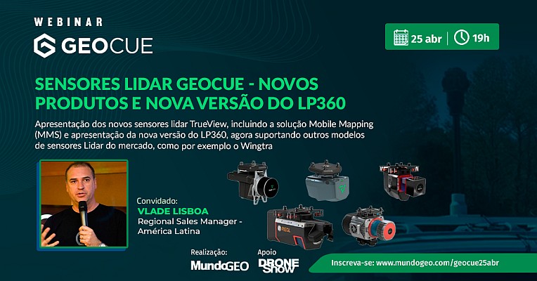
25 April 2024 - 19h00
Sensores Lidar GeoCue – novos produtos e nova versão do LP360 Drone
02 April 2024 - 11h00
Mapeamento de grandes áreas com VTOL
Video
WEBINAR: Sensores Lidar GeoCue – novos produtos e nova versão do LP360 Drone, 25 de abril às 19h
Sign up for our newsletter
Enter your email
Invalid Email
Calm down, we will not share with any third parties.
Confirm Subscription
Usamos cookies para aprimorar o site do MundoGEO. Cookies ajudam a proporcionar uma experiência mais personalizada e publicidade relevante para você, além de análise da Web para nós.
Saiba mais sobre estes cookies em nossa Política de Privacidade.
Entendi