A Teal Group’s 2014 market study estimates that annual UAV spending will nearly double over the next decade from current worldwide UAV expenditures of $6.4 billion annually to $11.5 billion. The study estimates that the industry would be worth almost $91 billion by 2024.![]()
An estimated $6.4 billion is currently being spent each year on developing drone technology around the world, according to a report published by the Teal Group, an aerospace and defence market research firm headquartered in Fairfax, Virginia. That number is expected to nearly double in future years, bringing the total amount spent on drones for both military and commercial applications to $11.5 billion annually by 2024.
Within a decade, the total amount spent worldwide on research, development, testing and evaluation (RDT&E) of drone technology will reach $91 billion, Teal Group analysts predict.
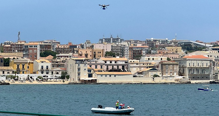
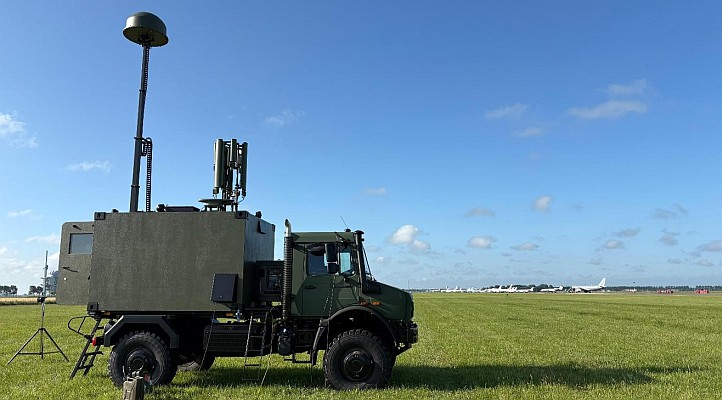
The growth of the drone market is mostly fueled by military organizations in the United States and other countries, according to the report. The United States already uses a wide range of unmanned aerial vehicle (UAV) systems — ranging from micro UAVs small enough to fit in the palm of a soldier’s hand, to large UAVs such as the Air Force’s Predator drone, which is used for both reconnaissance and air attacks.
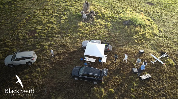
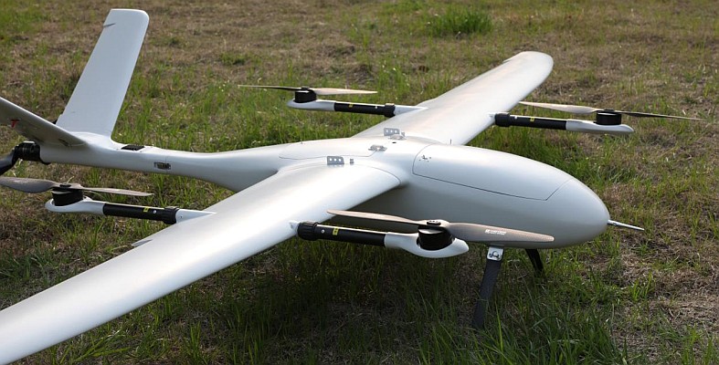
According to the report, drones used for non-military purposes make up a relatively small portion of today’s UAV market, with only 11 percent of all drone technologies currently being developed and produced for civilian uses. However, the report states that by the end of the decade, the share of the market devoted to non-military drones is expected to grow to at least 14 percent of the total market for drones.
“Our coverage of the civil UAV market continues to grow with each annual report, mirroring the gradual increase in the civil market itself,” Philip Finnegan, one of the authors of the study and director of corporate analysis with the Teal Group.
Source: Teal Group