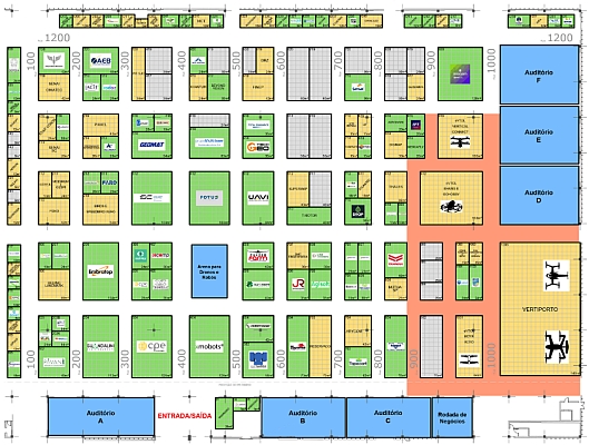
16-18/6 SÃO PAULO 230 brands confirmed for the DroneShow, MundoGEO Connect, SpaceBR Show and Expo eVTOL 2026
Geospatial Technologies Viridien announces new Global Tailings Monitoring Service to deliver more comprehensive, automated safety intelligence
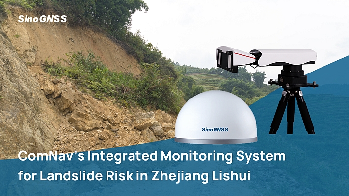
Geospatial Technologies Precision Monitoring: ComNav’s GNSS Technology Safeguards Critical Cambodian Hydropower Dam
Geospatial Technologies DEPHOS Group will be present at MundoGEO Connect 2026 with solutions for data quality control
16-18/6 SÃO PAULO Only 10% of booths remain available at the DroneShow, MundoGEO Connect, SpaceBR Show, and Expo eVTOL 2026
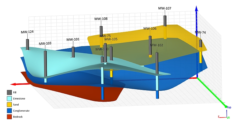
Geospatial Technologies Golden Software Enhances 3D Subsurface Visualization and Ease of Use in Surfer Mapping Package
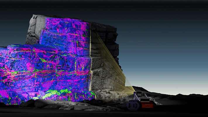
Geospatial Technologies Viridien introduces new Geolucent scanning system to deliver fast, reliable 3D geological insight for mining operations
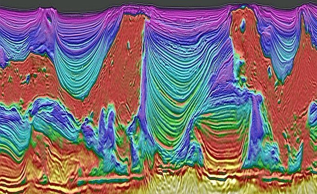
Geospatial Technologies Viridien announces strategic initiative to advance HPC for seismic imaging workflows with NVIDIA
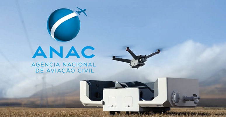
Drones and Robotics ANAC Grants Design Authorization for DJI Matrice 3D Series and Dock 2, Enabling BVLOS Operations in Brazil
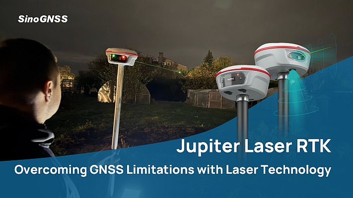
Geospatial Technologies NovAtel launches new firmware with groundbreaking advancements in GNSS reliability for challenging environments
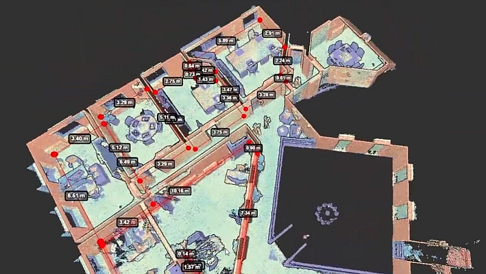
Geospatial Technologies A new era in spatial intelligence: Pointorama unveils AI generator that delivers instant, accurate floorplans
16 A 18 DE JUNHO EM SÃO PAULO 5 reasons to have a booth at the DroneShow Robotics, MundoGEO Connect, SpaceBR Show and Expo eVTOL 2026 exhibitions