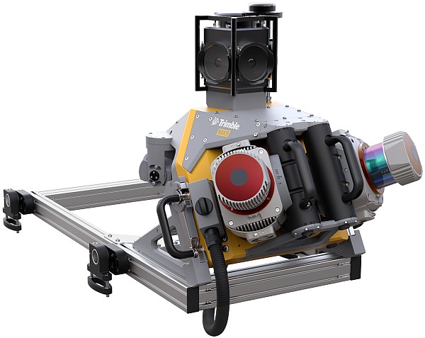
GNSS and Positioning Trimble Announces New MX9 Mobile Mapping System for Surveying, Engineering and Geospatial Professionals
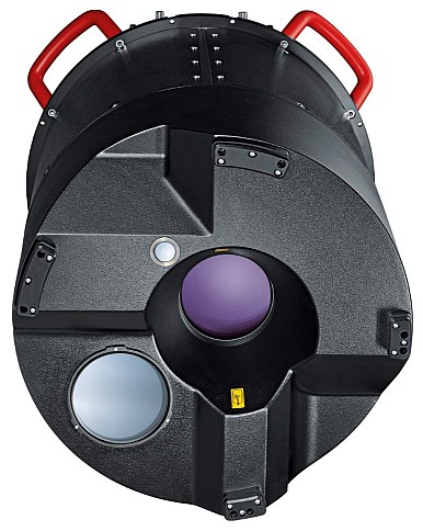
Geoprocessing and GIS Leica Geosystems multipurpose mobile mapping platform increases Smart City applications
GNSS and Positioning Active digital map for French Armed Forces will provide decisive mission advantage
Geoprocessing and GIS OGC Invites you to participate in a Simulated Exercise at the Disaster Risk Reduction (DDR) Across the Americas Summit
GNSS and Positioning High-Accuracy, On-Demand Positioning-as-a-Service Now Available with Trimble Catalyst