Drones
Space
eVTOL
Geospatial Technologies
Geoprocessing and GIS
Remote Sensing
GNSS and Positioning
Newsletter
WhatsApp
Exhibitions
DroneShow
MundoGEO Connect
SpaceBR Show
Expo eVTOL
Exhibitors
Webinars
Lives
About Us
Social Networks
GNSS and Positioning
GNSS and Positioning
United Nations General Assembly Adopts First Geospatial Resolution
GNSS and Positioning
GeoTerra orders new advanced Optech Galaxy airborne lidar for mountain surveys
GNSS and Positioning
Cartoview Enterprise GeoSpatial Application Platform Release
GNSS and Positioning
Global Map of South Amercia available in GeoSUR Portal
Geoprocessing and GIS
3D laser technology or conventional topography: which one is the best?
GNSS and Positioning
NASA Data Peers into Greenland’s Ice Sheet
GNSS and Positioning
Oso Landslide Research Paves Way for Future Hazard Evaluations
GNSS and Positioning
Hexagon Geospatial Technology Measures the Tallest Mountain in New Zealand
Geospatial Technologies
TomTom Expands its Traffic Service in Latin America
GNSS and Positioning
FIG at Intergeo
GNSS and Positioning
IBGE launches Political Map of Brazil
GNSS and Positioning
3D Laser Mapping to revolutionise building surveys
« Previous
1
…
24
25
26
27
28
…
94
Next »
Editorials
Drones
eVTOL
Geospatial Technologies
Geoprocessing and GIS
GNSS and Positioning
Remote Sensing
Space
Webinar Schedule
14 May 2024 - 16h00
Tecnologia de mapeamento móvel Navvis
Video
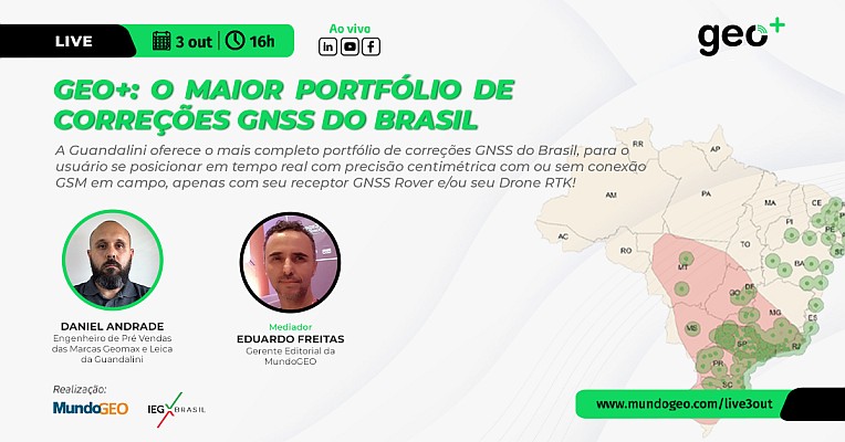
LIVE: Geo+, maior portfólio de correções GNSS do Brasil, 3/10 às 16h
Sign up for our newsletter
Enter your email
Invalid Email
Calm down, we will not share with any third parties.
Confirm Subscription