Drones
Space
eVTOL
Geospatial Technologies
Geoprocessing and GIS
Remote Sensing
GNSS and Positioning
Newsletter
WhatsApp
Exhibitions
DroneShow
MundoGEO Connect
SpaceBR Show
Expo eVTOL
Exhibitors
Webinars
Lives
About Us
Social Networks
GNSS and Positioning
Geoprocessing and GIS
CompassData certified by FAA to collect and verify Data for Aviation Mapping
Geoprocessing and GIS
Leica Geosystems launches Entry-level Laser Scanner
Geospatial Technologies
SenseFly unveils UAS for Precision Agriculture
Geoprocessing and GIS
Trimble releases next Generation Enterprise Forestry Management Solution
Geoprocessing and GIS
GeoMax launches Zipp10 Pro Total Station Series
GNSS and Positioning
Free Webinar: First approach to the OpenStreetMap universe
Geoprocessing and GIS
Bluesky launches Green Map of Britain
Drones
Aerial Solution for Geo-referenced Orthomosaics and DEM
Geoprocessing and GIS
Webinar: First approach to the OpenStreetMap universe
Geoprocessing and GIS
ESA launches project to measure temperature of the earth
Geoprocessing and GIS
Supergeo Partners with GPS P.L to Offer iOS-powered Mobile GIS
Geoprocessing and GIS
Ordnance Survey becomes a Principal Member of the OGC
« Previous
1
…
33
34
35
36
37
…
94
Next »
Editorials
Drones
eVTOL
Geospatial Technologies
Geoprocessing and GIS
GNSS and Positioning
Remote Sensing
Space
Webinar Schedule
14 May 2024 - 16h00
Tecnologia de mapeamento móvel Navvis
Video
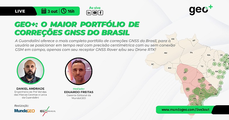
LIVE: Geo+, maior portfólio de correções GNSS do Brasil, 3/10 às 16h
Sign up for our newsletter
Enter your email
Invalid Email
Calm down, we will not share with any third parties.
Confirm Subscription