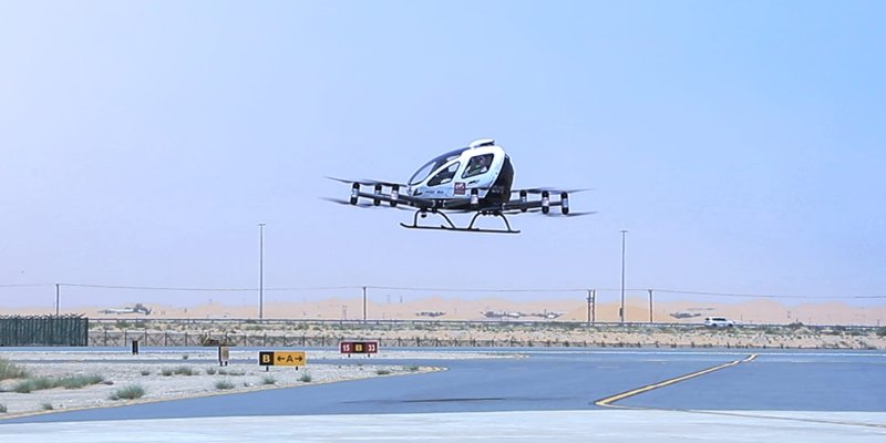
MAY 21 TO 23 IN SAO PAULO MundoGEO Connect, DroneShow Robotics, SpaceBR Show and Expo eVTOL bring together more than 8,000 professionals
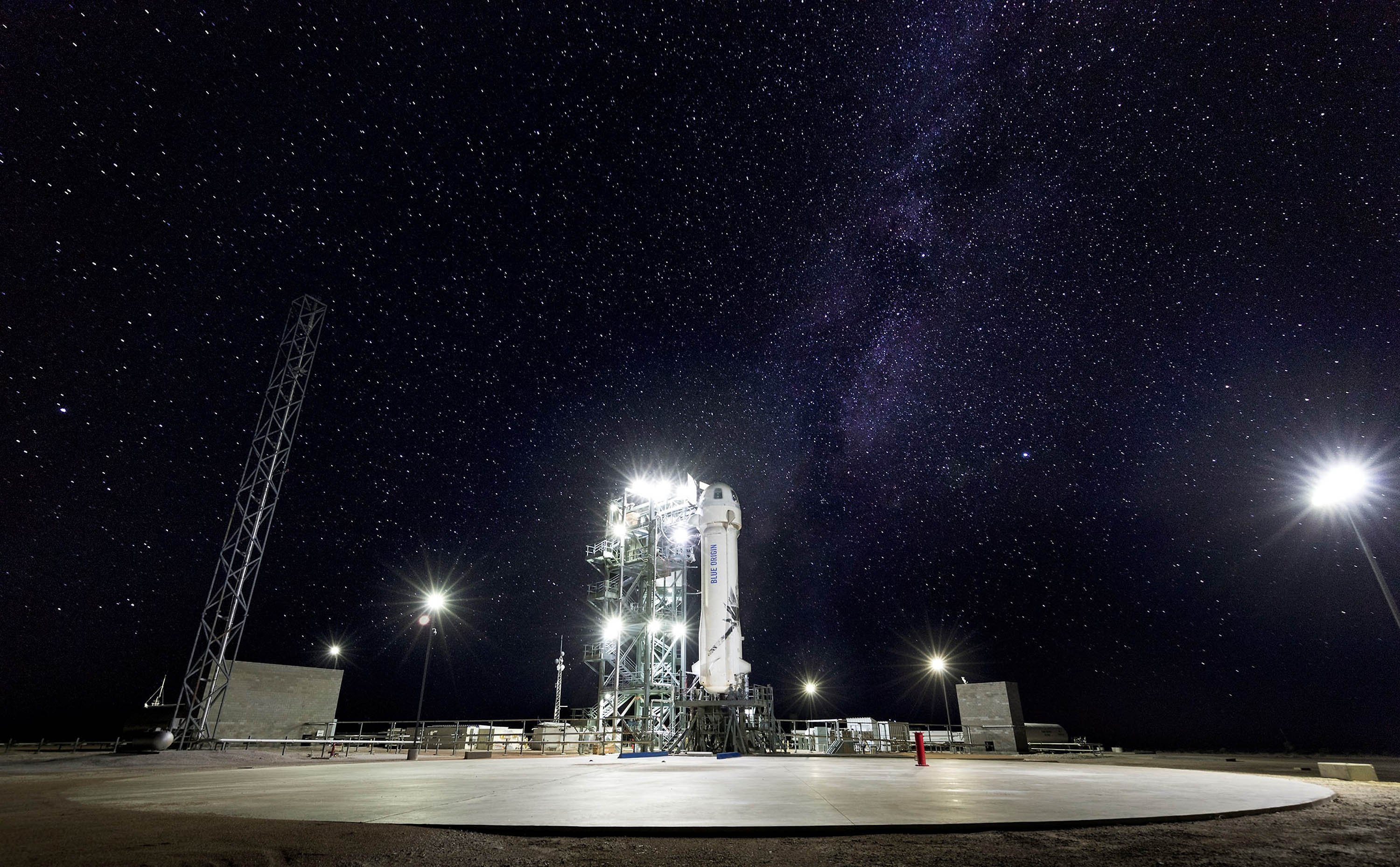
Geospatial Technologies EUSI Celebrates the Successful Launch of the First Two Maxar WorldView Legion Satellites
Geospatial Technologies Descartes Labs Government Accelerates Mission-Ready Solutions with EarthDaily Constellation Earth Observation Data
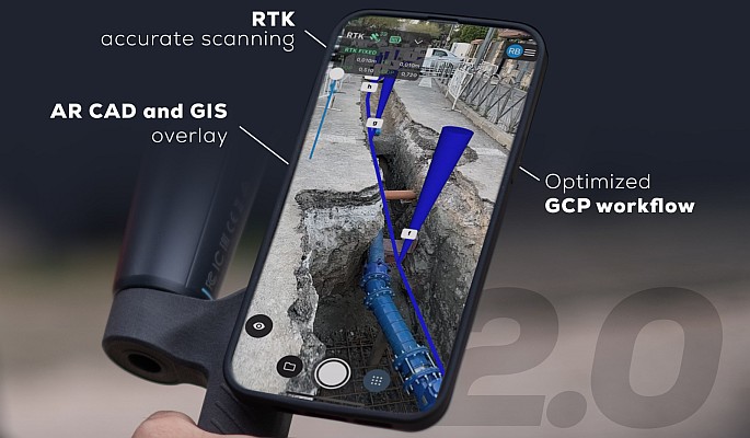
Geospatial Technologies Pix4D upgrades PIX4Dcatch with premium augmented reality features for professional results
Drones and Robotics Virtual Surveyor Adds Planimetric Survey Functionality to Latest Release of Smart Drone Surveying Software
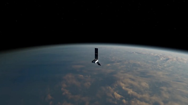
Space Space Flight Laboratory Confirms Successful Deployment of HawkEye 360 Microsatellite Clusters 8 and 9