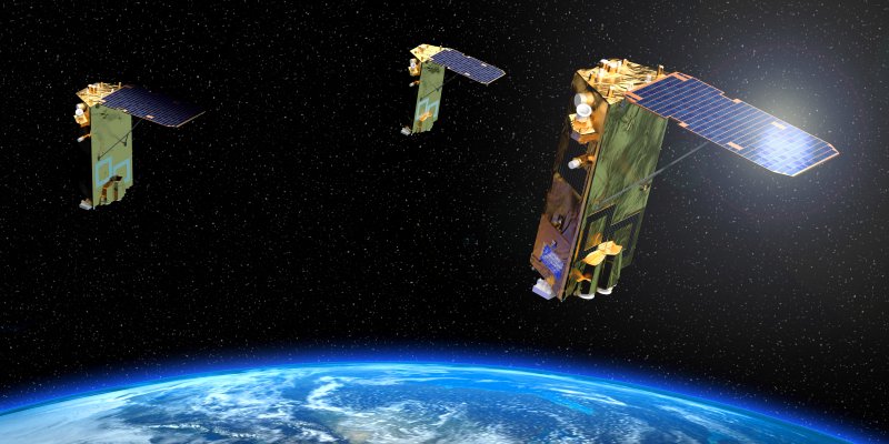
Geointelligence Descartes Labs Government Accelerates Mission-Ready Solutions with EarthDaily Constellation Earth Observation Data
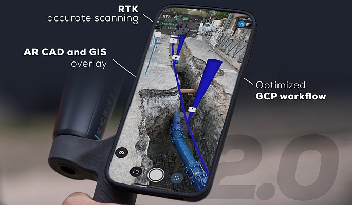
Geointelligence Pix4D upgrades PIX4Dcatch with premium augmented reality features for professional results
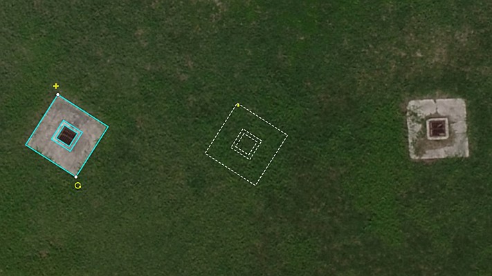
Drones Virtual Surveyor Adds Planimetric Survey Functionality to Latest Release of Smart Drone Surveying Software
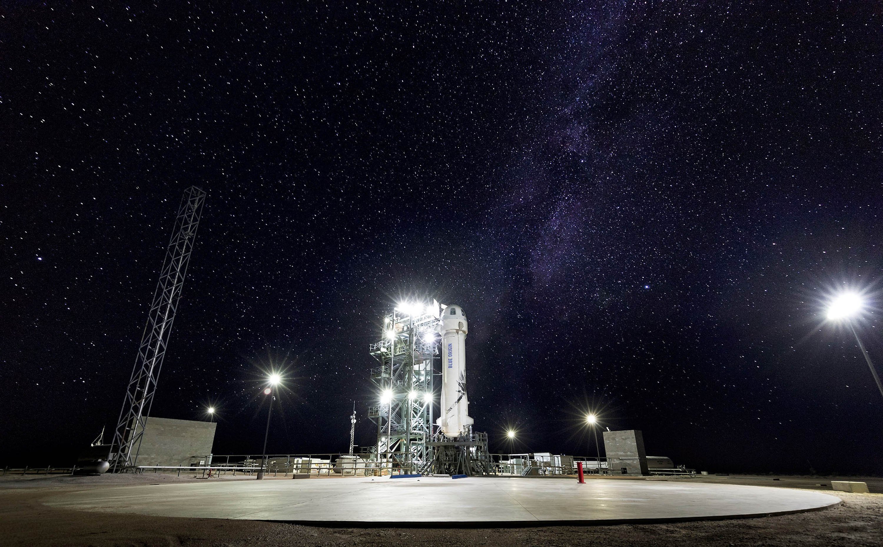
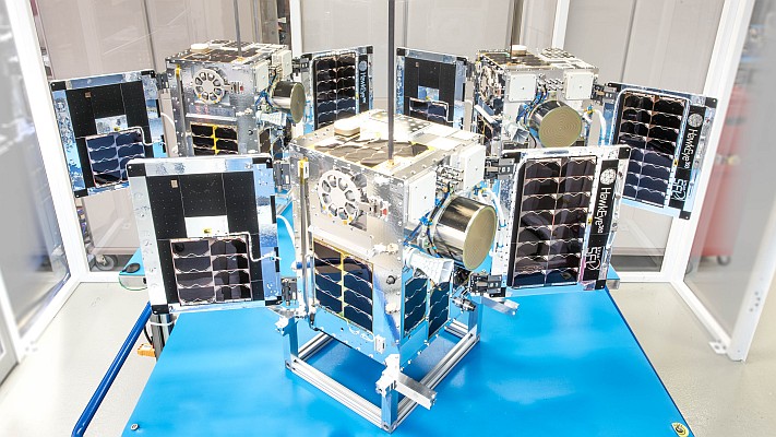
Space Space Flight Laboratory Confirms Successful Deployment of HawkEye 360 Microsatellite Clusters 8 and 9
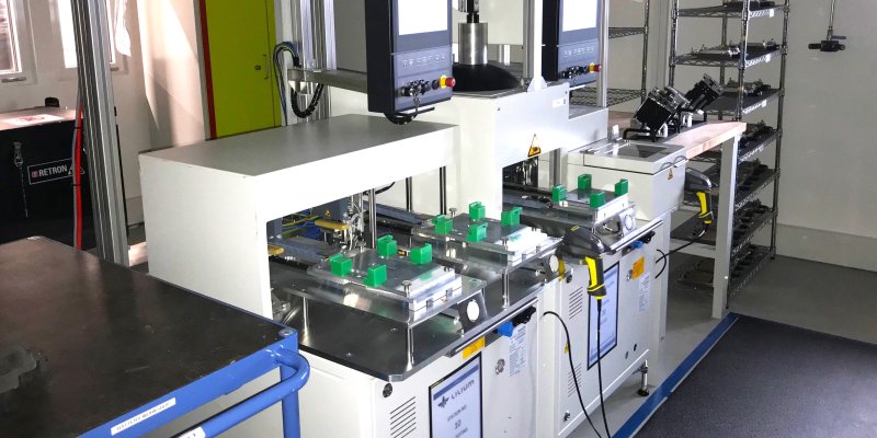
Geointelligence The installed base of GNSS-based on-board units deployed for road user charging exceeds 7 million units worldwide