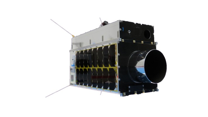
Geospatial Technologies SFL Awarded Contract to Build Next Three Greenhouse Gas Monitoring Microsatellites for GHGSat
Drones and Robotics AgEagle Announces eBee TAC Drone Solution Added to Blue UAS Cleared List by Defense Innovation Unit
Drones and Robotics Pix4D Germany wins a competitive tender for Deutsche Bahn to monitor railway infrastructure maintenance and construction in Germany
Geospatial Technologies UP42 Partners with Near Space Labs to Offer Very High-Resolution Imagery using Zero-Emission Balloons
Geospatial Technologies Airbus to provide imagery services that enable IntelinAir’s crop analytics platform
Space SpaceBR Show 2022 will have a hybrid forum in São Paulo with Latin American coverage and simultaneous translation