bathymetry
Geospatial Technologies
Nippon Foundation-GEBCO Seabed 2030 Project Announces Partnership with TCarta
News - GNSS and Positioning
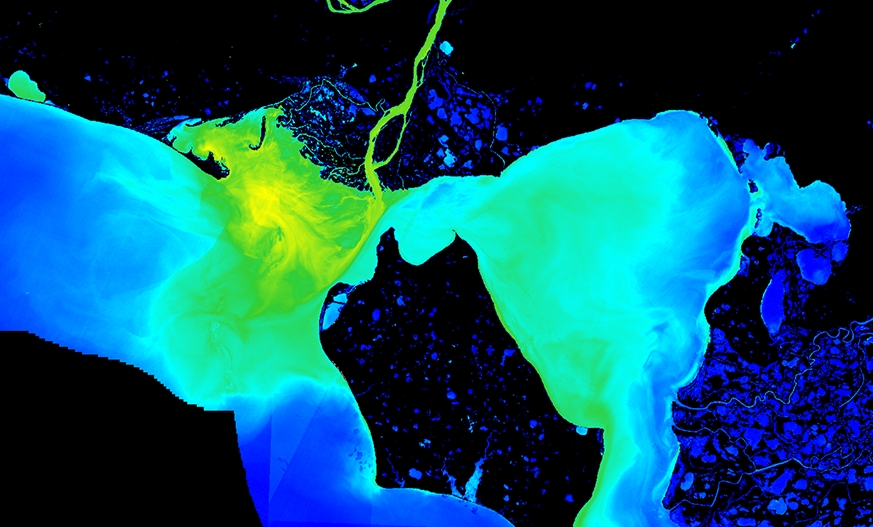
TCarta Awarded NOAA Grant to Enhance Satellite Derived Bathymetry Technology in Alaskan Waters
News - GNSS and Positioning
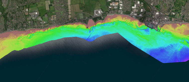
Fugro achieves UK first with RAMMS bathymetric lidar technology
News - GNSS and Positioning
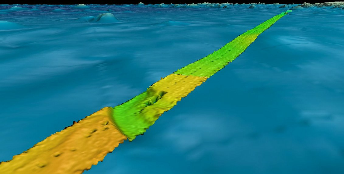
Fugro supports two ocean mapping initiatives with large crowd sourced bathymetry contribution
Editorials
Live Schedule


