Geoprocessing and GIS
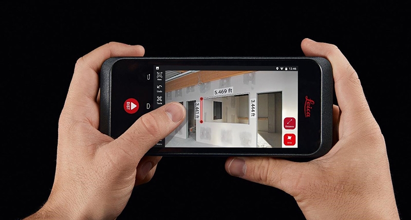
Leica Geosystems enriches construction collaboration with launch of BLK3D Web
cad
Geoprocessing and GIS
Bentley Systems Announces Acquisition of SignCAD Systems
Geoprocessing and GIS
New UK Building-height Data Released
GNSS and Positioning
FARO launches new X Series Laser Scanner: The Focus 3D X 130
Geoprocessing and GIS
The OGC invites comments on the candidate IndoorGML navigation standard
Geoprocessing and GIS
Esri launches Geotrigger Service for Mobile Developers
Geoprocessing and GIS
Philips Launches LED Lighting Indoor Navigation
Geoprocessing and GIS
Cloud-based GIS System for Agricultural Resource Management
GNSS and Positioning
Orbit GT presents Mobile Mapping Trajectory Adjustment at ILMF
Editorials
Webinar Schedule