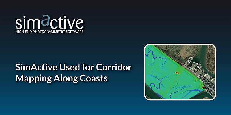
Geospatial Technologies
SimActive Used for Corridor Mapping Along Coasts
correlator 3d
News - Remote Sensing
SimActive software used for large-scale photogrammetry project
Drones and Robotics
SimActive Launches Subscription UAV Software
Drones and Robotics
SimActive and Delair-Tech Provide UAV Solution for SNCF
Drones and Robotics
SimActive Strengthens its Enterprise UAV Offering with Version 6.3
Editorials
Live Schedule