News - Geoprocessing and GIS
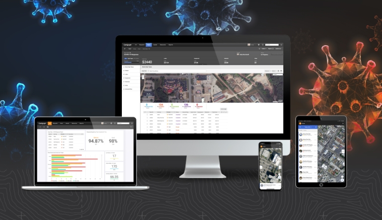
HxGN Content Program provides aerial imagery in response to COVID-19
covid19
News - Geoprocessing and GIS
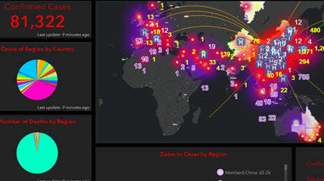
Esri Provides Free Mapping Software for Organizations Fighting COVID-19
Editorials
Live Schedule


