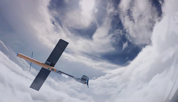
Drones and Robotics TerX Aero and Phase One set a new benchmark, delivering an unmatched combination ofaccuracy, resolution, and performance
eVTOL Volatus Aerospace Secures Approval from Transport Canada to Launch Scalable Automated Drone Services in Canada and Provides Corporate Update
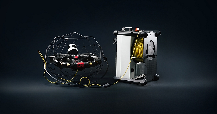
Drones and Robotics Flyability Launches Tether Power Unit for the Elios 3 for Unlimited Flight Time and Stress-Free Inspections
Drones and Robotics Article: Revolutionizing Urban Landscapes with Drone Technology to Shape the Future of Public Services
Drones and Robotics Quadsat Raises Strategic Investment from Join Capital and North Ventures to Accelerate Electronic Warfare Capabilities
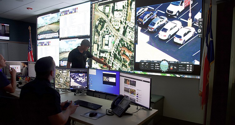
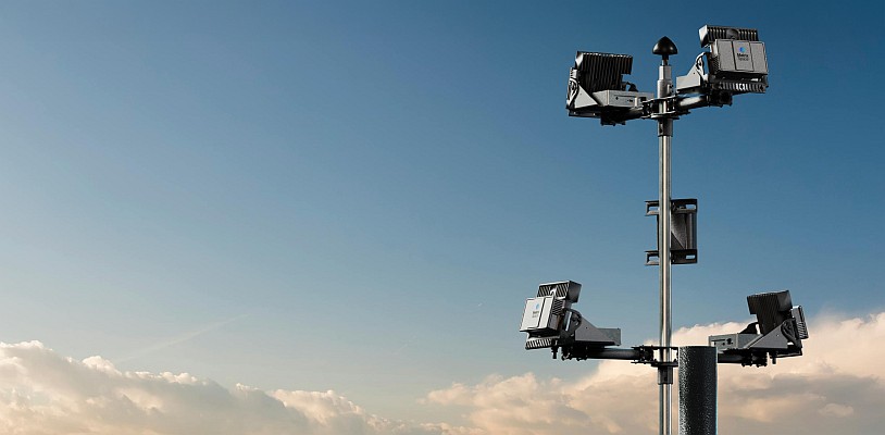
Drones and Robotics DroneSense and MatrixSpace Advance Beyond Visual Line of Sight Drone as First Responder Operations
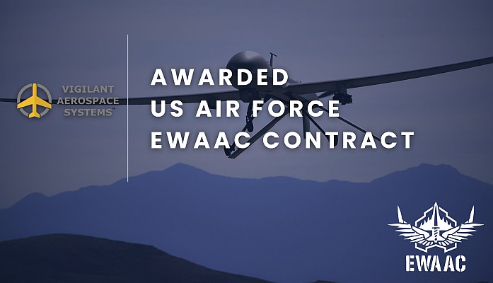
Drones and Robotics Vigilant Aerospace Selected for US Air Force EWAAC Contract as Preferred Vendor for Uncrewed Airspace Management
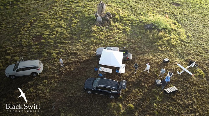
Drones and Robotics BEE Platform: Brazilian Innovation in Aerial Mobility for Agriculture, Logistics and Emergency Response
Drones and Robotics Palm Springs Police Department Expands Drone Responder Program with MatrixSpace Radar Network