Drones and Robotics
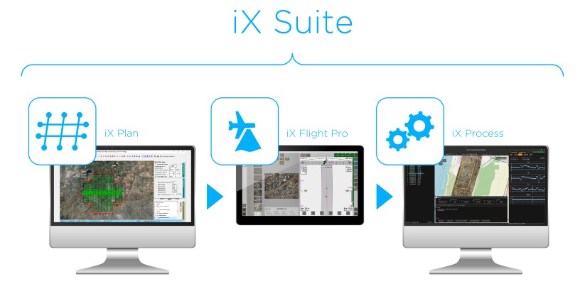
Phase One Announces iX Suite for Seamless Aerial Mapping Workflow
image processing
News - Remote Sensing
SimActive Software Used for Oil and Gas Seismic Exploration
News - Remote Sensing
SimActive Speeds Up Stockpile Measurement with Drones
News - Geoprocessing and GIS
SimActive further Accelerates Processing with Correlator3D Version 8.4
Editorials
Live Schedule


