News - Remote Sensing
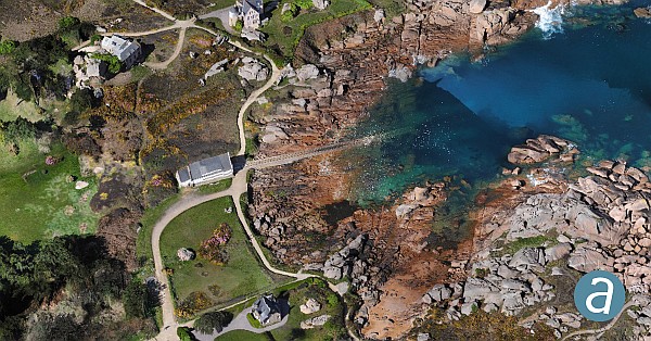
SimActive Software Used with eBee X for Shoreline Mapping
orthomosaic
Drones and Robotics
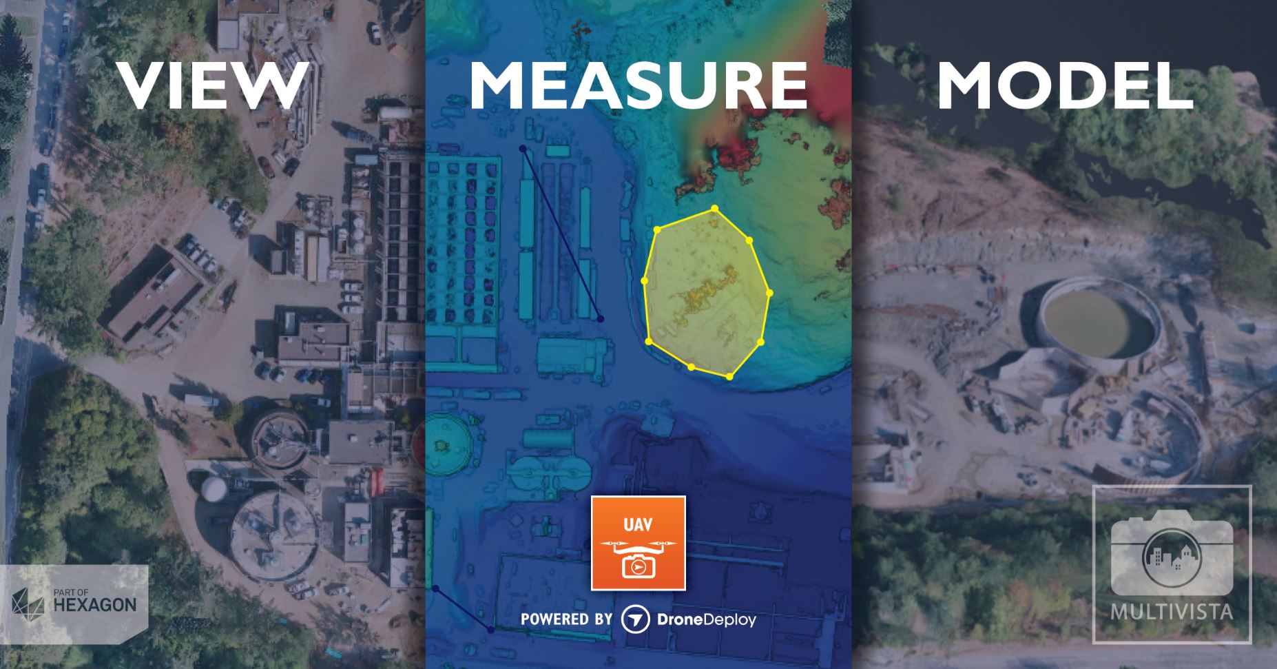
Multivista Announces DroneDeploy Partnership, Advanced UAV Mapping Services
News - Remote Sensing
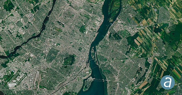
SimActive software used for large-scale photogrammetry project
Drones and Robotics
SenseFly UAV Technology used to map Hawaiian lava flow
Editorials
Live Schedule


